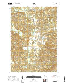
2020 Map of Kings Valley
USGS Topo · Published 2020About this map
The Luckiamute River winds through the heart of this valley, connecting the small communities of Kings Valley and Hoskins during the early 21st century. This area is defined by its deep historical roots, evidenced by the high density of burial sites such as Edwards Pioneer Cem, Womer Cem, and Kings Valley Cem. The landscape transitions from the agricultural flats along the river to the rising slopes of Dunn Ridge, Grant Hill, and the Cardwell Hills.
Find a feature on this map
69 named features on this map. Tap any name to fly to it.
Don’t see what you’re looking for? This feature index may not catch every label — zoom into the map to look around manually.
Map Details
Editions of this 2020 Kings Valley Map
This is the sole edition of this map. No revisions or reprints were ever made.
Other maps of this area

1913 · Philomath
USGS Topo · 1:31,680

1914 · Soap Creek
USGS Topo · 1:31,680

1921 · Corvallis
USGS Topo · 1:62,500

1922 · Airlie
USGS Topo · 1:31,680

1939 · Marys Peak
USGS Topo · 1:62,500

1942 · Marys Peak
USGS Topo · 1:62,500

1942 · Corvallis
USGS Topo · 1:62,500

1942 · Valsetz
USGS Topo · 1:62,500

1942 · Dallas
USGS Topo · 1:62,500

1953 · Salem
USGS Topo · 1:250,000