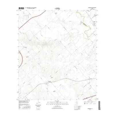
2016 Map of Kingsbury
USGS Topo · Published 2016About this map
The San Marcos River snakes through the northeast corner of this landscape, forming the natural border between Caldwell Co and Guadalupe Co. Further south, the settlement of Kingsbury serves as a local hub near the intersection of FM 2438 and the railroad, while the Old Kingsbury Aerodrome sits just outside the town center. The map reveals a high density of burial sites for a rural area, including the Kingsbury Cem, Appling Cem, and several sites near Prairie Lea such as the San Juan Number 2 Cem and Pentress Cem.
Find a feature on this map
75 named features on this map. Tap any name to fly to it.
Don’t see what you’re looking for? This feature index may not catch every label — zoom into the map to look around manually.
Map Details
Editions of this 2016 Kingsbury Map
This is the sole edition of this map. No revisions or reprints were ever made.
Other maps of this area

1911 · San Marcos
USGS Topo · 1:125,000

1919 · San Marcos
USGS Topo · 1:125,000

1924 · San Marcos 3-c
USGS Topo · 1:48,000

1924 · San Marcos 3-d
USGS Topo · 1:48,000

1925 · San Marcos 4-c
USGS Topo · 1:48,000

1929 · Luling
USGS Topo · 1:62,500

1930 · Lockhart
USGS Topo · 1:62,500

1930 · Seguin
USGS Topo · 1:62,500

1953 · Seguin
USGS Topo · 1:250,000

1958 · Seguin
USGS Topo · 1:250,000