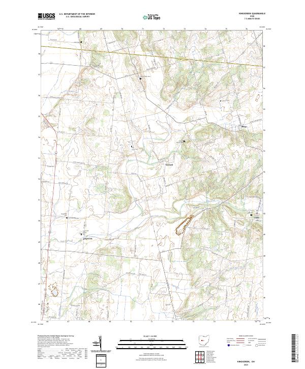
2023 Map of Kingscreek
USGS Topo · Published 2023About this map
Kingscreek and Kennard anchor this rural landscape in Champaign County, where agricultural land is partitioned by a network of township and county roads. The terrain is defined by the winding course of Kings Creek and its tributaries, including Dugan Run and Buck Creek. This map reveals a community deeply rooted in its local history, evidenced by the numerous small burial grounds scattered across the townships, such as Kingscreek Baptist Cem and the Oak Grove Cem.
Find a feature on this map
75 named features on this map. Tap any name to fly to it.
Don’t see what you’re looking for? This feature index may not catch every label — zoom into the map to look around manually.
Map Details
Editions of this 2023 Kingscreek Map
This is the sole edition of this map. No revisions or reprints were ever made.
Historical Maps of Cable Through Time
12 maps found
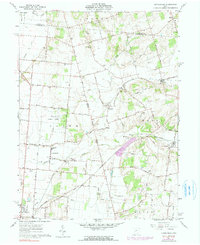
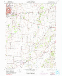
1961 Kingscreek
Champaign County, OH

1961 Northville
Champaign County, OH
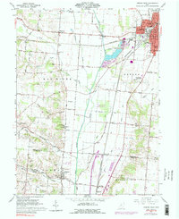
1961 Saint Paris
Champaign County, OH
1961 Thackery
Champaign County, OH
1961 Urbana East
Champaign County, OH
1961 Urbana West
Champaign County, OH
2023 Kingscreek
Champaign County, OH
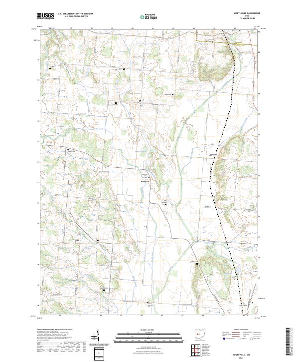
2023 Northville
Champaign County, OH
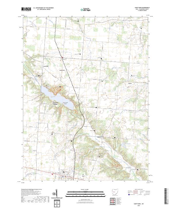
2023 Saint Paris
Champaign County, OH
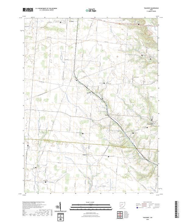
2023 Thackery
Champaign County, OH
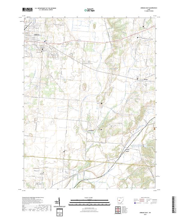
2023 Urbana East
Champaign County, OH
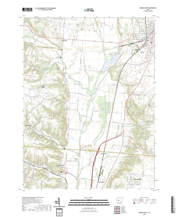
2023 Urbana West
Champaign County, OH