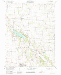
1961 Map of Saint Paris
USGS Topo · Published 1991About this map
The village of Saint Paris anchors the southern portion of this landscape, showing a dense grid of streets and the Pennsylvania Road corridor as it appeared during the early 1960s. Northward, the man-made Kiser Lake and its surrounding Kiser Lake State Park dominate the terrain, providing a look at mid-century recreation sites like Camp Shawano and the State Landing Strip. The map reveals a deeply rooted agrarian community through its numerous rural burial grounds, including the Wilkson Cem, Halterman Cem, and Millerstown Cem.
Find a feature on this map
65 named features on this map. Tap any name to fly to it.
Don’t see what you’re looking for? This feature index may not catch every label — zoom into the map to look around manually.
Map Details
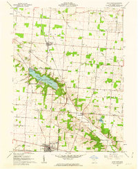
Editions of this 1961 Saint Paris Map
2 editions found
Other maps of this area

1913 · Bellefontaine
USGS Topo · 1:48,000

1913 · Sidney
USGS Topo · 1:62,500

1914 · Troy
USGS Topo · 1:62,500

1914 · St. Paris
USGS Topo · 1:62,500

1915 · Bellefontaine
USGS Topo · 1:62,500

1916 · St. Paris
USGS Topo · 1:62,500

1944 · Sidney
USGS Topo · 1:62,500

1944 · St. Paris
USGS Topo · 1:62,500

1944 · Troy
USGS Topo · 1:62,500

1944 · Bellefontaine
USGS Topo · 1:62,500