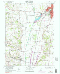
1961 Map of Urbana West
USGS Topo · Published 1983About this map
The Mad River Valley forms the central spine of this western Ohio landscape, where the meandering Mad River dictates the region’s topography and drainage. This survey, updated in the early 1970s, illustrates a transitional period for the city of Urbana, showing the expansion of the S Ward Sch and N Ward Sch alongside the Urbana Jr College campus. The valley floor is marked by extensive wetland conservation at the Cedar Swamp State Memorial, a unique botanical site surrounded by the agricultural reaches of Westville and Terre Haute.
Find a feature on this map
62 named features on this map. Tap any name to fly to it.
Don’t see what you’re looking for? This feature index may not catch every label — zoom into the map to look around manually.
Map Details
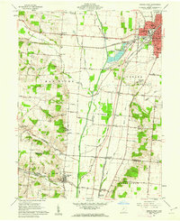
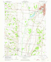
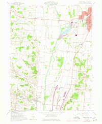
Editions of this 1961 Urbana West Map
4 editions found
Other maps of this area

1904 · Springfield
USGS Topo · 1:62,500

1906 · Springfield
USGS Topo · 1:62,500

1907 · South Charleston
USGS Topo · 1:62,500

1914 · St. Paris
USGS Topo · 1:62,500

1914 · Mechanicsburg
USGS Topo · 1:62,500

1916 · Mechanicsburg
USGS Topo · 1:62,500

1916 · St. Paris
USGS Topo · 1:62,500

1944 · Mechanicsburg
USGS Topo · 1:62,500

1944 · St. Paris
USGS Topo · 1:62,500

1947 · Columbus
USGS Topo · 1:250,000