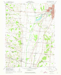
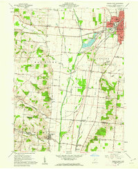
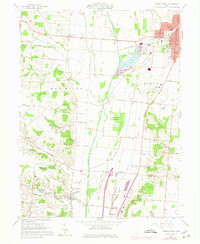
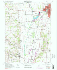
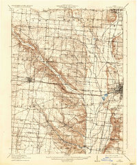
1961 Map of Urbana West
USGS Topo · Published 1974About this map
Urbana and its western rural hinterlands are captured here at a time of established rail prominence, with the Pennsylvania, Erie-Lackawanna, and New York Central railroads all converging on the city. The landscape is defined by the broad valley of the Mad River, which acts as a county boundary between Champaign Co and Clark Co. Scattered throughout the agricultural sections are numerous family-named burial grounds, including Snider Cem and Cook Cem, providing a detailed record for genealogical research.
Find a feature on this map
72 named features on this map. Tap any name to fly to it.
Don’t see what you’re looking for? This feature index may not catch every label — zoom into the map to look around manually.
Map Details
Editions of this 1961 Urbana West Map
4 editions found
Other maps of this area

1904 · Springfield
USGS Topo · 1:62,500

1906 · Springfield
USGS Topo · 1:62,500
1907 · South Charleston
USGS Topo · 1:62,500
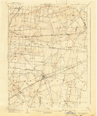
1914 · St. Paris
USGS Topo · 1:62,500

1914 · Mechanicsburg
USGS Topo · 1:62,500

1916 · Mechanicsburg
USGS Topo · 1:62,500
1916 · St. Paris
USGS Topo · 1:62,500

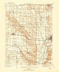
1944 · Mechanicsburg
USGS Topo · 1:62,500
1944 · St. Paris
USGS Topo · 1:62,500

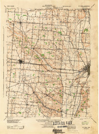
1947 · Columbus
USGS Topo · 1:250,000