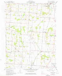
1961 Map of Northville
USGS Topo · Published 1977About this map
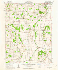
Northville and the surrounding agricultural landscape of Champaign County are captured here in a period of relative stability, showing the traditional crossroads hamlets of Eris and Lippincott. The terrain is defined by the northward flow of the Mad River and its tributaries like Muddy Run Creek and Glady Creek. This 1961 field-checked survey reveals a high density of family-named burial grounds and rural institutions that speak to the area's deep nineteenth-century roots, including the Scott and Pullins Cem, Sullivans Cem, and the Idle and Stevens Cem. Infrastructure of the era is represented by the New York Central RR and several prominent gravel pits, while the northern edge of Urbana begins to appear in the southeast corner. Local community centers like Wesley Chapel and Concord Ch serve as focal points for the surrounding farmsteads linked by a network of pikes and roads.
Find a feature on this map
45 named features on this map. Tap any name to fly to it.
Don’t see what you’re looking for? This feature index may not catch every label — zoom into the map to look around manually.
Map Details
Editions of this 1961 Northville Map
2 editions found
Other maps of this area

1913 · Bellefontaine
USGS Topo · 1:48,000

1913 · East Liberty
USGS Topo · 1:62,500

1914 · St. Paris
USGS Topo · 1:62,500

1914 · Mechanicsburg
USGS Topo · 1:62,500

1915 · Bellefontaine
USGS Topo · 1:62,500

1915 · East Liberty
USGS Topo · 1:62,500

1916 · Mechanicsburg
USGS Topo · 1:62,500

1916 · St. Paris
USGS Topo · 1:62,500

1944 · East Liberty
USGS Topo · 1:62,500

1944 · Mechanicsburg
USGS Topo · 1:62,500