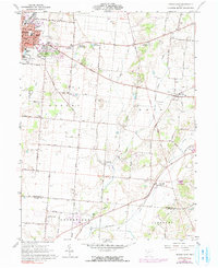
1961 Map of Urbana East
USGS Topo · Published 1991About this map
The eastern reaches of Urbana anchor this landscape, where the Erie Lackawanna RR and Penn Central lines converge. Beyond the growing residential edges and the fairgrounds, the terrain transitions into the agricultural heart of Champaign and Clark counties. The map reveals a dense network of family-named roads like Sloan Road and Brigner Road, connecting a landscape defined by water and history. A series of glacial ponds, including First Price Pond, Second Price Pond, and Third Price Pond, lead toward the winding course of Buck Creek. Local heritage is deeply etched into the land, from the ancient Indian Mound in Salem to numerous rural burial grounds such as Oakdale Cemetery and Sharon Cem. The settlement at Mutual and the transit point at Catawba Station provide a look at the mid-century social and economic geography of this Ohio farm country.
Find a feature on this map
50 named features on this map. Tap any name to fly to it.
Don’t see what you’re looking for? This feature index may not catch every label — zoom into the map to look around manually.
Map Details
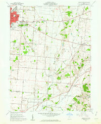
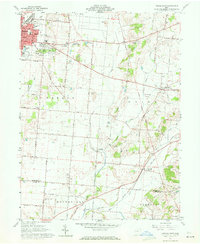
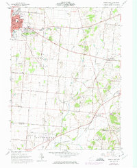
Editions of this 1961 Urbana East Map
4 editions found
Other maps of this area

1904 · Springfield
USGS Topo · 1:62,500

1906 · Springfield
USGS Topo · 1:62,500

1907 · South Charleston
USGS Topo · 1:62,500

1914 · St. Paris
USGS Topo · 1:62,500

1914 · Mechanicsburg
USGS Topo · 1:62,500

1916 · Mechanicsburg
USGS Topo · 1:62,500

1916 · St. Paris
USGS Topo · 1:62,500

1944 · Mechanicsburg
USGS Topo · 1:62,500

1944 · St. Paris
USGS Topo · 1:62,500

1947 · Columbus
USGS Topo · 1:250,000