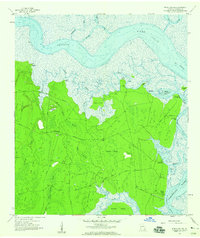
1958 Map of Kingsland NE
USGS Topo · Published 1959About this map
The Satilla River and Cumberland River define this coastal landscape, where tidal creeks and dense wetlands dominate the eastern edge of Camden County. In the late 1950s, this area remained largely inaccessible except for private roads and water routes, as evidenced by the numerous Artesian Wells and the remote Private Landing Strip near Cabin Bluff. The map captures a transition from the established settlement at Forestview to the rugged, inundated interiors of Copeland Swamp and Barrel Head Swamp. Coastal landmarks such as Horsepen Bluff and Grover Island provide clues to early shoreline occupation, while the presence of Fairfield Cem near Fairfield Point marks the site of local family histories. Navigational features like The Bulkhead and the Intracoastal Waterway highlight the region's importance for maritime traffic between the mainland and the barrier islands.
Find a feature on this map
39 named features on this map. Tap any name to fly to it.
Don’t see what you’re looking for? This feature index may not catch every label — zoom into the map to look around manually.
Map Details
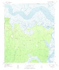
Editions of this 1958 Kingsland NE Map
2 editions found
Other maps of this area

1918 · Cumberland Island
USGS Topo · 1:62,500

1918 · Bladen
USGS Topo · 1:62,500

1918 · Kingsland
USGS Topo · 1:62,500

1930 · Cumberland Island
USGS Topo · 1:62,500

1939 · Bladen
USGS Topo · 1:62,500

1945 · Brunswick
USGS Topo · 1:62,500

1945 · Cumberland Island
USGS Topo · 1:62,500

1946 · Brunswick
USGS Topo · 1:250,000

1948 · Jacksonville
USGS Topo · 1:250,000

1948 · Brunswick
USGS Topo · 1:250,000