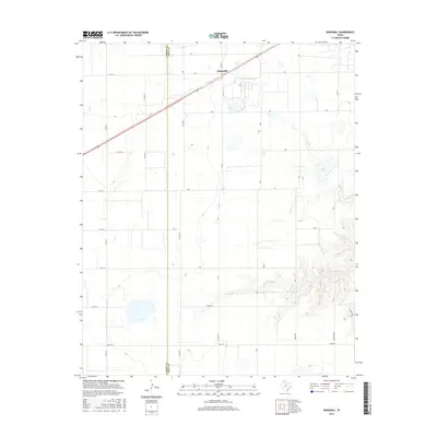
2016 Map of Kingsmill
USGS Topo · Published 2016About this map
Kingsmill sits at the junction of rail and road in the Texas Panhandle, positioned along the border between Carson Co and Gray Co. This 2016 survey illustrates a landscape dominated by the expansive grid of the High Plains, where agricultural life is organized by an extensive network of named local roads such as Haiduk Rd, Boydston Rd, and Henry Rd. The terrain breaks sharply in the southeast corner where the headwaters of the N Fork Red River begin to carve into the flat caprock, creating a more complex drainage pattern contrasted against the surrounding level plains.
Find a feature on this map
33 named features on this map. Tap any name to fly to it.
Don’t see what you’re looking for? This feature index may not catch every label — zoom into the map to look around manually.
Map Details
Editions of this 2016 Kingsmill Map
This is the sole edition of this map. No revisions or reprints were ever made.
Other maps of this area

1954 · Amarillo
USGS Topo · 1:250,000

1958 · Amarillo
USGS Topo · 1:250,000

1963 · Pampa
USGS Topo · 1:24,000

1963 · Skellytown
USGS Topo · 1:24,000

1965 · White Deer
USGS Topo · 1:24,000

1965 · Lake Mc Connell
USGS Topo · 1:24,000

1966 · Grandview School
USGS Topo · 1:24,000

1966 · White Deer SW
USGS Topo · 1:24,000

1966 · Kingsmill
USGS Topo · 1:24,000

1966 · Bowers City
USGS Topo · 1:24,000