
1893 Map of Kingston
USGS Topo · Published 1905About this map
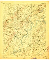
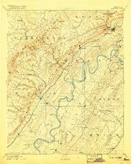
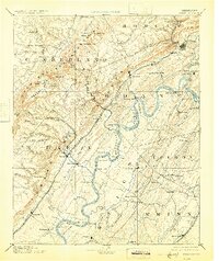
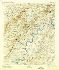
The Tennessee River snakes through the heart of this landscape, its banks dotted with vital river crossings like Jackson Ferry, Sevier Ferry, and James Ferry. This era of transport is further defined by the Cincinnati Southern Railroad and the Tennessee and Sequatchee Valley Railroad, which navigate the base of the dramatic Escarpment. To the west, the Crab Orchard Mountains contain the unique geological basin of Grassy Cove, where the drainage disappears into the Sinks Grassy Cove.
Find a feature on this map
131 named features on this map. Tap any name to fly to it.
Don’t see what you’re looking for? This feature index may not catch every label — zoom into the map to look around manually.
Map Details
Editions of this 1893 Kingston Map
5 editions found
Other maps of this area

1886 · Cleveland
USGS Topo · 1:125,000

1887 · Kingston
USGS Topo · 1:125,000

1888 · Chattanooga
USGS Topo · 1:125,000

1891 · Kingston
USGS Topo · 1:125,000

1892 · Pikeville
USGS Topo · 1:125,000

1892 · Cleveland
USGS Topo · 1:125,000

1893 · Chattanooga
USGS Topo · 1:125,000

1893 · Murphy
USGS Topo · 1:125,000

1893 · Briceville
USGS Topo · 1:125,000

1895 · Cleveland
USGS Topo · 1:125,000