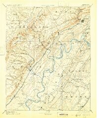
1893 Map of Kingston
USGS Topo · Published 1925About this map
The Cumberland Mountains and the Cumberland Plateau define the western reaches of this landscape, where the Tennessee and Sequatchee Valley Railroad winds through the hills toward Grand View. To the east, the Tennessee River snakes through the valley, supported by a network of river-crossings such as McElwee Ferry and Pinhook Landing. The region's early settlement patterns are visible in sites like Kemmers Old Stand and Ten Mile Stand, which likely served as important waypoints for travelers long before the rail networks matured.
Find a feature on this map
122 named features on this map. Tap any name to fly to it.
Don’t see what you’re looking for? This feature index may not catch every label — zoom into the map to look around manually.
Map Details
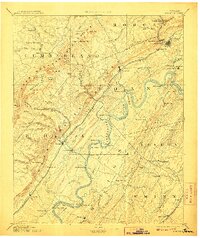
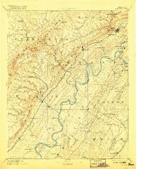
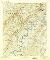
Editions of this 1893 Kingston Map
5 editions found
Other maps of this area

1886 · Cleveland
USGS Topo · 1:125,000

1887 · Kingston
USGS Topo · 1:125,000

1888 · Chattanooga
USGS Topo · 1:125,000

1891 · Kingston
USGS Topo · 1:125,000

1892 · Pikeville
USGS Topo · 1:125,000

1892 · Cleveland
USGS Topo · 1:125,000

1893 · Chattanooga
USGS Topo · 1:125,000

1893 · Murphy
USGS Topo · 1:125,000

1893 · Briceville
USGS Topo · 1:125,000

1893 · Kingston
USGS Topo · 1:125,000