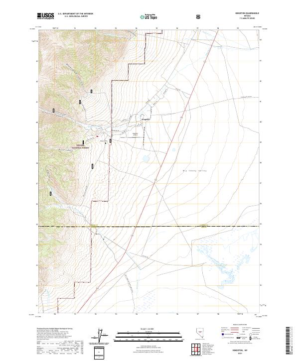
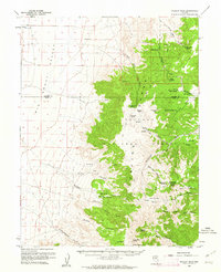
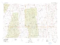
2021 Map of Kingston
USGS Topo · Published 2021About this map
Kingston sits at the base of the mountains where Kingston Canyon meets the expansive Big Smoky Valley. This map shows a settlement pattern defined by its canyon-mouth geography, with a small grid of residential streets like Austin Ave and Jefferson Dr positioned near the mouth of the creek. Local infrastructure includes the Kingston Airport and the Kingston Cem, serving a community tucked within the eastern edge of the Toiyabe National Forest.
Find a feature on this map
47 named features on this map. Tap any name to fly to it.
Don’t see what you’re looking for? This feature index may not catch every label — zoom into the map to look around manually.
Map Details
Editions of this 2021 Kingston Map
This is the sole edition of this map. No revisions or reprints were ever made.
Other maps of this area

1926 · Roberts Mountains
USGS Topo · 1:250,000

1929 · Roberts Mountains
USGS Topo · 1:250,000

1955 · Millett
USGS Topo · 1:250,000
1956 · Millett Ranch
USGS Topo · 1:62,500
1956 · Austin
USGS Topo · 1:62,500

1959 · Millett
USGS Topo · 1:250,000
1960 · Spencer Hot Springs
USGS Topo · 1:62,500
1960 · Wildcat Peak
USGS Topo · 1:62,500
1978 · Summit Mountain
USGS Topo · 1:100,000
1985 · Smith Creek Valley
USGS Topo · 1:100,000