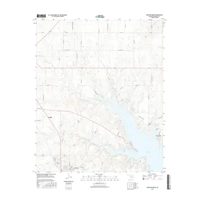
2016 Map of Kingston North
USGS Topo · Published 2016About this map
Madill and Kingston anchor this Marshall County landscape where the southern plains meet the expansive waters of Lake Texoma. The geography is defined by the complex, finger-like inlets of Little Glasses Bay and the meandering path of Little Glasses Cr, showing how the reservoir's creation reshaped the local topography. This 2016 survey highlights a mix of rural infrastructure and community history, from the Cushing Country Club Reservoir to the Oil Field Access Rd network that hints at the region's underlying industrial activity. Genealogists will find significant local landmarks preserved on the map, including Kingston Cem, Cliff Cem, and the Moore Burney Cem near the settlement of Aylesworth. The transition from the structured street grids of the towns to the winding rural routes like Rattler Rdg illustrates the varied pace of development across the Oklahoma terrain.
Find a feature on this map
61 named features on this map. Tap any name to fly to it.
Don’t see what you’re looking for? This feature index may not catch every label — zoom into the map to look around manually.
Map Details
Editions of this 2016 Kingston North Map
This is the sole edition of this map. No revisions or reprints were ever made.
Other maps of this area

1901 · Tishomingo
USGS Topo · 1:125,000

1901 · Denison
USGS Topo · 1:125,000

1954 · Sherman
USGS Topo · 1:250,000

1957 · Ardmore
USGS Topo · 1:250,000

1958 · Gordonville
USGS Topo · 1:62,500

1958 · Denison Dam
USGS Topo · 1:62,500

1958 · Sherman
USGS Topo · 1:250,000

1963 · Ardmore
USGS Topo · 1:250,000

1963 · Madill
USGS Topo · 1:24,000

1963 · Ravia
USGS Topo · 1:24,000