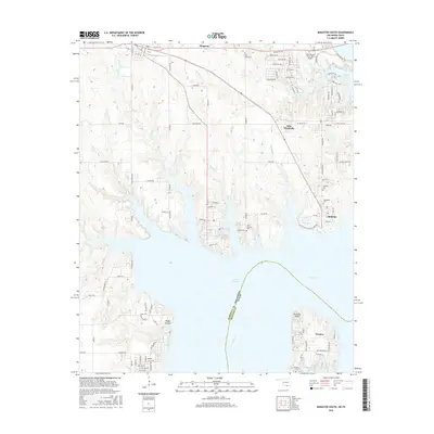
2016 Map of Kingston South
USGS Topo · Published 2016About this map
Lake Texoma dominates the landscape at the border of Oklahoma and Texas, where the inundation of the Red River valley created a complex network of bays and inlets. This modern survey captures the developed shoreline around Preston Point and the residential clusters of New Woodville, McBride, and Preston. The map is particularly useful for genealogists, as it preserves the locations of numerous historic burial grounds, including Bald Knob Cem, Woodville Cem, and Isom Springs Cem, which remain scattered among the wooded peninsulas. Transportation routes like Texoma Park Rd and the Lake Texoma State Park Airport serve the recreational and residential needs of the region. The map also delineates the precise county and state boundaries of Marshall County, Oklahoma and Grayson County, Texas as they follow the original path of the river through the reservoir.
Find a feature on this map
109 named features on this map. Tap any name to fly to it.
Don’t see what you’re looking for? This feature index may not catch every label — zoom into the map to look around manually.
Map Details
Editions of this 2016 Kingston South Map
This is the sole edition of this map. No revisions or reprints were ever made.
Other maps of this area

1901 · Tishomingo
USGS Topo · 1:125,000

1901 · Denison
USGS Topo · 1:125,000

1954 · Sherman
USGS Topo · 1:250,000

1957 · Denison Dam
USGS Topo · 1:24,000

1957 · Ardmore
USGS Topo · 1:250,000

1958 · Gordonville
USGS Topo · 1:62,500

1958 · Denison Dam
USGS Topo · 1:62,500

1958 · Sherman
USGS Topo · 1:250,000

1963 · Ardmore
USGS Topo · 1:250,000

1963 · Madill
USGS Topo · 1:24,000