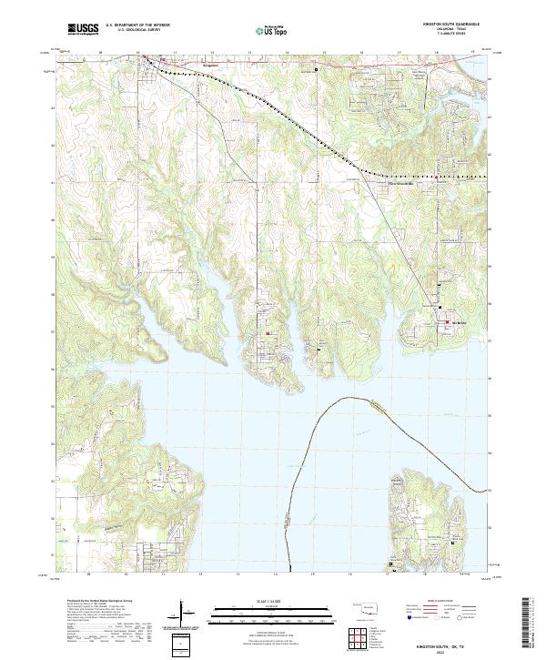
2022 Map of Kingston South
USGS Topo · Published 2022About this map
The northern reaches of Lake Texoma dominate this landscape where the Red River meets the Oklahoma-Texas border. This modern topography records a region defined by its relationship to the massive reservoir, featuring shoreline settlements like McBride and New Woodville along with the inland hub of Kingston. The local geography is heavily marked by small family and community burial sites, including the Potts Slave Cem, Bald Knob Cem, and Preston Bend Cem, which offer significant touchstones for genealogical research in Marshall County.
Find a feature on this map
128 named features on this map. Tap any name to fly to it.
Don’t see what you’re looking for? This feature index may not catch every label — zoom into the map to look around manually.
Map Details
Editions of this 2022 Kingston South Map
This is the sole edition of this map. No revisions or reprints were ever made.
Other maps of this area

1901 · Tishomingo
USGS Topo · 1:125,000

1901 · Denison
USGS Topo · 1:125,000

1954 · Sherman
USGS Topo · 1:250,000

1957 · Denison Dam
USGS Topo · 1:24,000

1957 · Ardmore
USGS Topo · 1:250,000

1958 · Gordonville
USGS Topo · 1:62,500

1958 · Denison Dam
USGS Topo · 1:62,500

1958 · Sherman
USGS Topo · 1:250,000

1963 · Ardmore
USGS Topo · 1:250,000

1963 · Madill
USGS Topo · 1:24,000