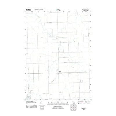
2011 Map of Kingston
USGS Topo · Published 2011About this map
Kingston serves as a central hub in this agricultural region of Tuscola County, where the regular grid of country roads meets the winding paths of local waterways. The village layout is centered around the intersection of Kingston Rd and Ross Street, home to the Kingston Post Office. To the north, the small settlement of Wilmot sits near the South Branch White Creek, marked by Saint Michael's Catholic Cemetery.
Find a feature on this map
53 named features on this map. Tap any name to fly to it.
Don’t see what you’re looking for? This feature index may not catch every label — zoom into the map to look around manually.
Map Details
Editions of this 2011 Kingston Map
This is the sole edition of this map. No revisions or reprints were ever made.
Other maps of this area

1954 · Flint
USGS Topo · 1:250,000

1958 · Flint
USGS Topo · 1:250,000

1963 · Clifford
USGS Topo · 1:24,000

1963 · East Dayton
USGS Topo · 1:24,000

1963 · Mayville
USGS Topo · 1:24,000

1963 · Marlette
USGS Topo · 1:24,000

1963 · Kingston
USGS Topo · 1:24,000

1963 · Cass City
USGS Topo · 1:24,000

1963 · Ellington
USGS Topo · 1:24,000

1963 · Shabbona
USGS Topo · 1:24,000