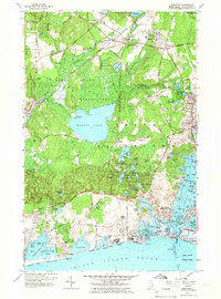
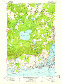
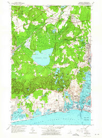
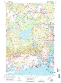
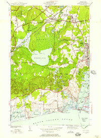
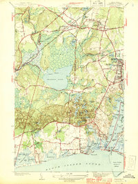
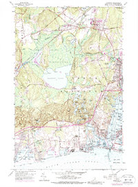
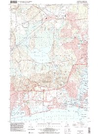
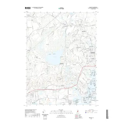
1957 Map of Kingston
USGS Topo · Published 1966About this map
The Great Swamp Wildlife Reservation dominates the center of this sheet, preserving the historic Great Swamp Fight Site and the waters of Worden Pond. To the north, the University of Rhode Island and the Kingston Fairgrounds anchor the educational and social life of the county seat at Kingston. This 1950s landscape is defined by its transition from the inland glacial hills and the New York New Haven and Hartford rail line at West Kingston to the coastal summer settlements along the Atlantic. In the south, the economy shifts toward the sea, visible in the fishing villages of Jerusalem and Galilee, separated by the breachway at Snug Harbor. Notable details for researchers include the State Fish Hatchery near Perryville and numerous small coastal features like Jonathan Island and the Matunuck Sch.
Find a feature on this map
134 named features on this map. Tap any name to fly to it.
Don’t see what you’re looking for? This feature index may not catch every label — zoom into the map to look around manually.
Map Details
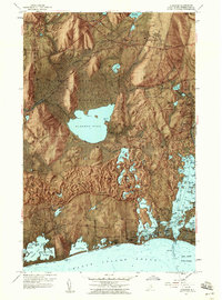
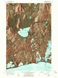
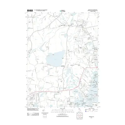
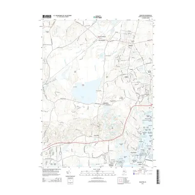
Editions of this 1957 Kingston Map
10 editions found
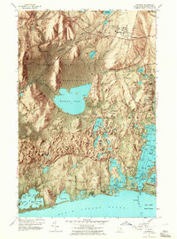
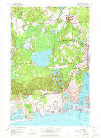
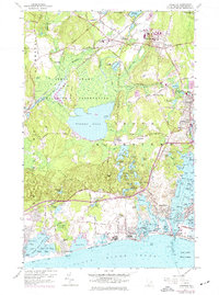
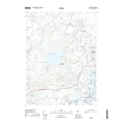
Historical Maps of South Kingstown Through Time
9 maps found
1942 Kingston
Washington County, RI
1944 Kingston
Washington County, RI
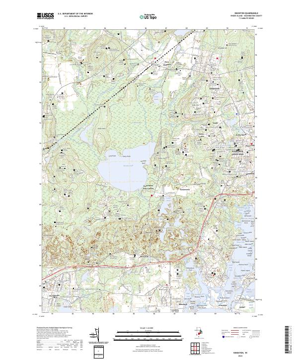
1957 Kingston
Washington County, RI
2001 Kingston
Washington County, RI
2012 Kingston
Washington County, RI
2015 Kingston
Washington County, RI
2018 Kingston
Washington County, RI
2021 Kingston
Washington County, RI
2024 Kingston
Washington County, RI