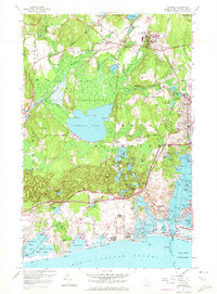
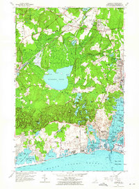
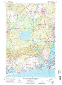
1957 Map of Kingston
USGS Topo · Published 1972About this map
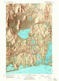
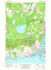
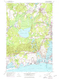
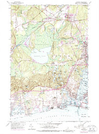
The Great Swamp Wildlife Reservation and its historic Great Swamp Fight Site anchor the interior of this coastal Washington County landscape. To the north, the University of Rhode Island is established near the village of Kingston, while the Penn Central line services the nearby Kingston Sta. This 1950s survey, updated with 1970s aerial photography, reveals the intricate relationship between the swampy headwaters of the Saugatucket River and the developed shoreline.
Find a feature on this map
105 named features on this map. Tap any name to fly to it.
Don’t see what you’re looking for? This feature index may not catch every label — zoom into the map to look around manually.
Map Details
Editions of this 1957 Kingston Map
10 editions found
Other maps of this area

1889 · Charlestown
USGS Topo · 1:62,500

1889 · Newport
USGS Topo · 1:62,500

1890 · Narragansett Bay
USGS Topo · 1:62,500

1890 · Kent
USGS Topo · 1:62,500

1892 · Narragansett Bay
USGS Topo · 1:62,500

1894 · Kent
USGS Topo · 1:62,500

1894 · Newport
USGS Topo · 1:62,500

1904 · Newport
USGS Topo · 1:62,500

1919 · Charlestown
USGS Topo · 1:62,500

1919 · Narragansett Bay
USGS Topo · 1:62,500