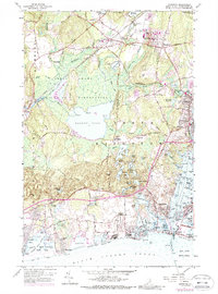
1957 Map of Kingston
USGS Topo · Published 1989About this map
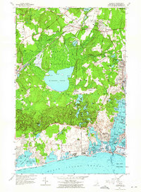
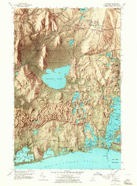
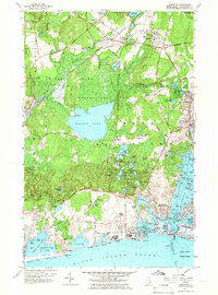
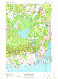
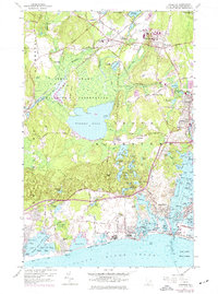
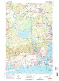
The Great Swamp Wildlife Reservation dominates the heart of this coastal landscape, surrounding the historic Great Swamp Fight Site and the expansive Worden Pond. To the north, the academic grounds of the University of Rhode Island sit adjacent to Kingston, while the Conrail line links the village of West Kingston via Kingston Sta. This mid-century view captures a transition between the inland wetlands and the Atlantic shore, where the fishing and recreational hubs of Galilee and Jerusalem flank the breachway. The map documents the intricate water systems of South Kingstown, from the Perryville State Trout Hatchery to the cluster of kettle ponds like Tucker Pond and Long Pond. Local transit and land use are evidenced by Mooresfield Road, the sprawling Camp Hoffman, and several Gravel Pits that suggest ongoing local industry.
Find a feature on this map
141 named features on this map. Tap any name to fly to it.
Don’t see what you’re looking for? This feature index may not catch every label — zoom into the map to look around manually.
Map Details
Editions of this 1957 Kingston Map
10 editions found
Other maps of this area

1889 · Charlestown
USGS Topo · 1:62,500

1889 · Newport
USGS Topo · 1:62,500

1890 · Narragansett Bay
USGS Topo · 1:62,500

1890 · Kent
USGS Topo · 1:62,500

1892 · Narragansett Bay
USGS Topo · 1:62,500

1894 · Kent
USGS Topo · 1:62,500

1894 · Newport
USGS Topo · 1:62,500

1904 · Newport
USGS Topo · 1:62,500

1919 · Charlestown
USGS Topo · 1:62,500

1919 · Narragansett Bay
USGS Topo · 1:62,500