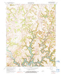
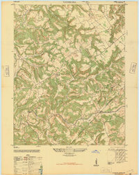
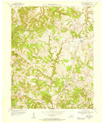
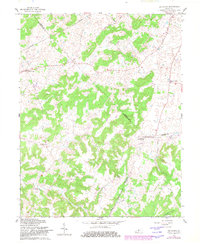
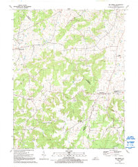
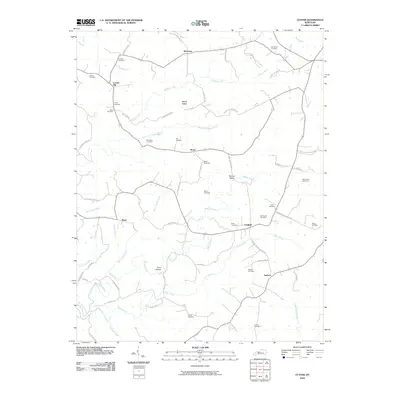
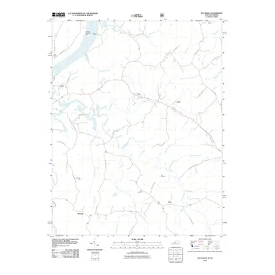
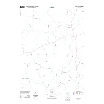
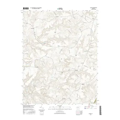
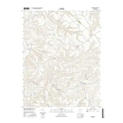
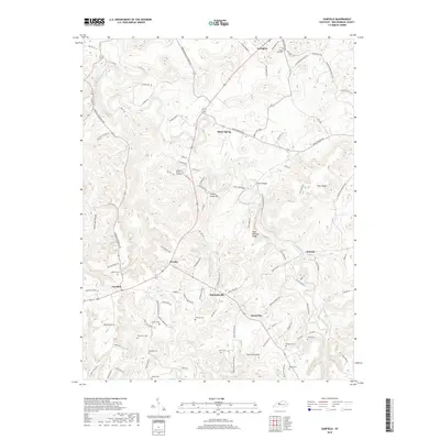
1963 Map of Kingswood
USGS Topo · Published 1990About this map
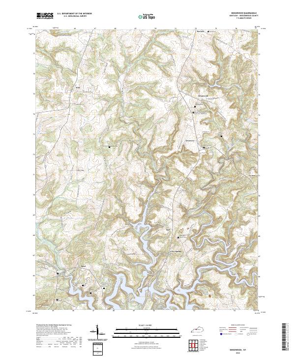
The Rough River Lake reservoir dominates the southern portion of this Kentucky landscape, its winding fingers reaching into the drainages of Tules Creek and Calamese Creek. Settled communities such as Kingswood and Westview anchor the central hills, while Harned sits at the northern crossroads. The map reveals a community defined by its rural institutions, showing local landmarks like Mt Zion Ch and St Anthonys Sch. To the west, the U S Military Reservation Boundary cuts through the terrain near Axtel. Notable water features include Bens Hole Branch and Buffalo Creek, illustrating the complex hydrology that feeds into the Rough River system. This 1963 revision provides a clear view of the area's secondary roads and scattered farmstead locations during a period of established reservoir management.
Find a feature on this map
27 named features on this map. Tap any name to fly to it.
Don’t see what you’re looking for? This feature index may not catch every label — zoom into the map to look around manually.
Map Details
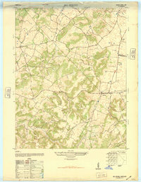
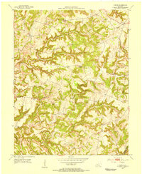
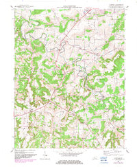
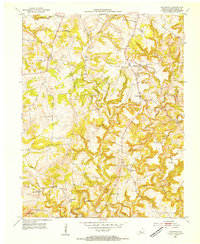
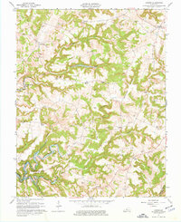
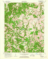
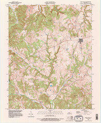
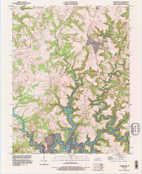
Editions of this 1963 Kingswood Map
3 editions found
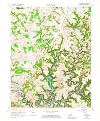
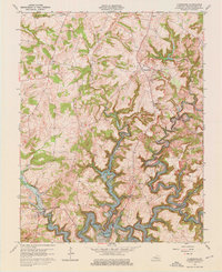
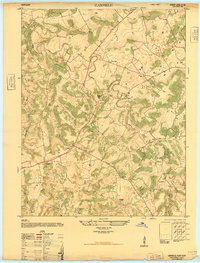
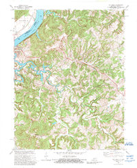
Historical Maps of Kingswood Through Time
52 maps found
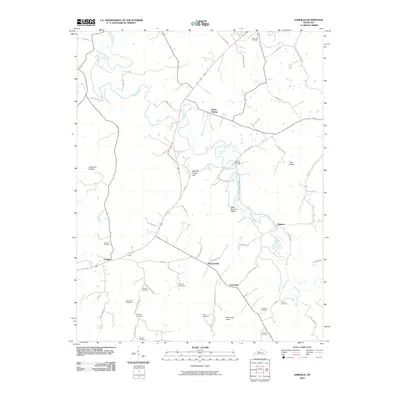
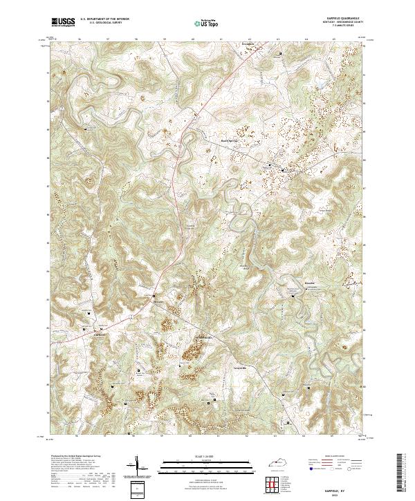
1947 Garfield
Breckinridge County, KY
1947 Lodiburg
Breckinridge County, KY
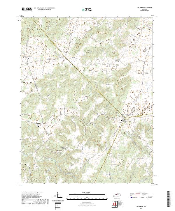
1948 Big Spring
Breckinridge County, KY
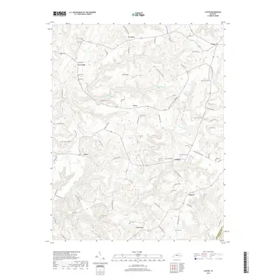
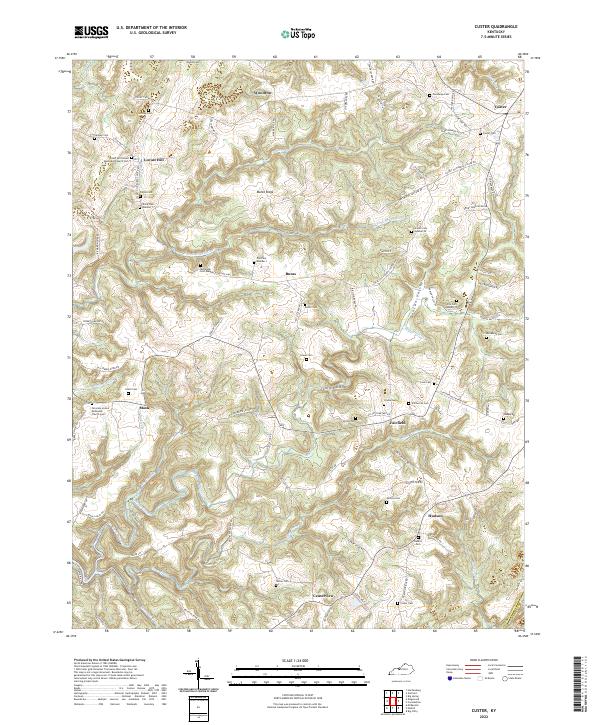
1953 Custer
Breckinridge County, KY
1953 Garfield
Breckinridge County, KY
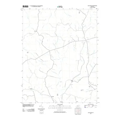
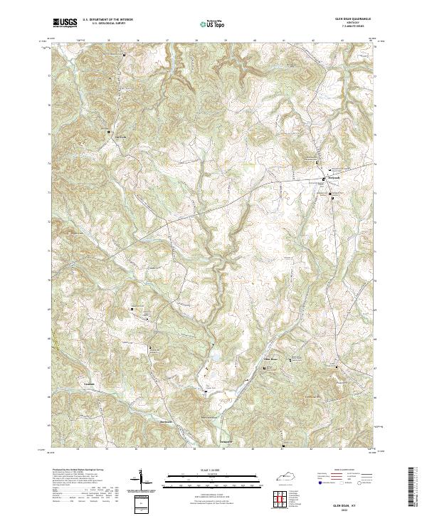
1953 Glen Dean
Breckinridge County, KY
1953 Kingswood
Breckinridge County, KY
1953 Lodiburg
Breckinridge County, KY
1953 Mattingly
Breckinridge County, KY
1961 Big Spring
Breckinridge County, KY
1963 Custer
Breckinridge County, KY
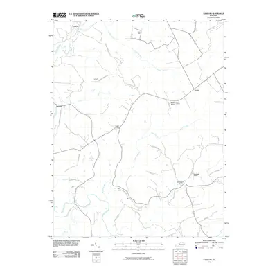
1963 Glen Dean
Breckinridge County, KY
1963 Kingswood
Breckinridge County, KY
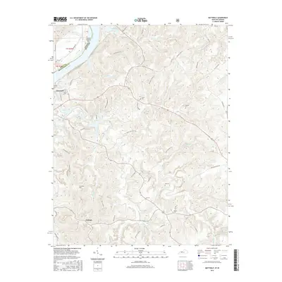
1970 Mattingly
Breckinridge County, KY
1991 Big Spring
Breckinridge County, KY
1993 Glen Dean
Breckinridge County, KY
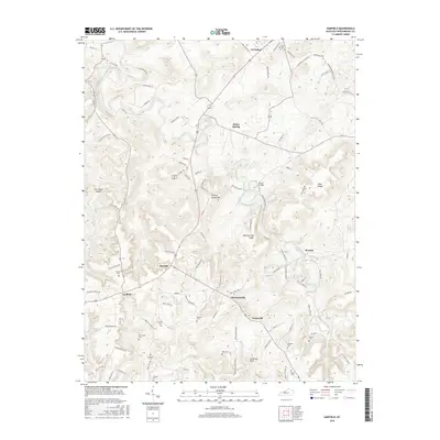
1993 Kingswood
Breckinridge County, KY
2010 Big Spring
Breckinridge County, KY
2010 Custer
Breckinridge County, KY
2010 Garfield
Breckinridge County, KY
2010 Glen Dean
Breckinridge County, KY

2010 Kingswood
Breckinridge County, KY
2010 Lodiburg
Breckinridge County, KY
2010 Mattingly
Breckinridge County, KY
2013 Big Spring
Breckinridge County, KY
2013 Custer
Breckinridge County, KY
2013 Garfield
Breckinridge County, KY
2013 Glen Dean
Breckinridge County, KY

2013 Kingswood
Breckinridge County, KY
2013 Lodiburg
Breckinridge County, KY
2013 Mattingly
Breckinridge County, KY
2016 Big Spring
Breckinridge County, KY
2016 Custer
Breckinridge County, KY
2016 Garfield
Breckinridge County, KY
2016 Glen Dean
Breckinridge County, KY
2016 Kingswood
Breckinridge County, KY
2016 Lodiburg
Breckinridge County, KY
2016 Mattingly
Breckinridge County, KY
2019 Big Spring
Breckinridge County, KY
2019 Custer
Breckinridge County, KY
2019 Garfield
Breckinridge County, KY
2019 Glen Dean
Breckinridge County, KY

2019 Kingswood
Breckinridge County, KY
2019 Lodiburg
Breckinridge County, KY
2019 Mattingly
Breckinridge County, KY
2022 Big Spring
Breckinridge County, KY
2022 Custer
Breckinridge County, KY
2022 Garfield
Breckinridge County, KY
2022 Glen Dean
Breckinridge County, KY
2022 Kingswood
Breckinridge County, KY
2022 Lodiburg
Breckinridge County, KY
2022 Mattingly
Breckinridge County, KY