
1925 Map of Kingwood
USGS Topo · Published 1925About this map
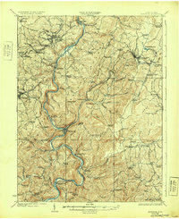
The Cheat River winds through the heart of Preston County, carving a deep valley that historically dictated the path of industry and transit in West Virginia. This 1925 edition, based on earlier surveys by A. M. Walker and J. R. McMillen, illustrates a landscape dominated by the Baltimore and Ohio Railroad as it follows the river's contours through Rowlesburg and Tunnelton. The mapping reveals a dense network of one-room schoolhouses such as Union School and Grange Hall School, reflecting the decentralized rural life of the era.
Find a feature on this map
114 named features on this map. Tap any name to fly to it.
Don’t see what you’re looking for? This feature index may not catch every label — zoom into the map to look around manually.
Map Details
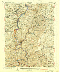
Editions of this 1925 Kingwood Map
3 editions found
Other maps of this area

1886 · St. George
USGS Topo · 1:125,000

1891 · St. George
USGS Topo · 1:125,000

1895 · Piedmont
USGS Topo · 1:125,000

1899 · Oakland
USGS Topo · 1:62,500

1900 · Accident
USGS Topo · 1:62,500

1900 · Oakland
USGS Topo · 1:62,500

1902 · Morgantown
USGS Topo · 1:62,500

1904 · Bruceton
USGS Topo · 1:62,500

1907 · Thornton
USGS Topo · 1:62,500

1907 · Kingwood
USGS Topo · 1:62,500