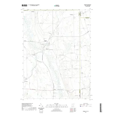
2019 Map of Kinsman
USGS Topo · Published 2019About this map
Pymatuning Creek defines the local drainage as it winds south through Kinsman and past the small community of Farmdale. This eastern Trumbull County landscape is anchored by the settlement of Kinsman Center, which sits just north of Kinsman Lake. The geography is heavily influenced by its position along the Pennsylvania state line, with several family and local cemeteries such as State Line Cem and New Kinsman Cem marking the historical placement of early residents. Further south, the map illustrates the rural character around Vernon and Corinth, where many small tributaries like Maple Cr and Mill Cr feed into the larger creek system. The extensive road network, including the Youngstown Conneaut Rd, connects these scattered farming communities and historical plots like Brockway Cem and Giddings Cem.
Find a feature on this map
76 named features on this map. Tap any name to fly to it.
Don’t see what you’re looking for? This feature index may not catch every label — zoom into the map to look around manually.
Map Details
Editions of this 2019 Kinsman Map
This is the sole edition of this map. No revisions or reprints were ever made.
Other maps of this area

1905 · Andover
USGS Topo · 1:48,000

1906 · Linesville
USGS Topo · 1:62,500

1907 · Andover
USGS Topo · 1:62,500

1907 · Kinsman
USGS Topo · 1:62,500

1908 · Shenango
USGS Topo · 1:62,500

1908 · Linesville
USGS Topo · 1:62,500

1950 · Cleveland
USGS Topo · 1:250,000

1956 · Cleveland
USGS Topo · 1:250,000

1958 · Sharpsville
USGS Topo · 1:24,000

1958 · Greensville West
USGS Topo · 1:24,000