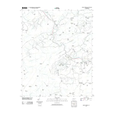
2010 Map of Kinzel Springs
USGS Topo · Published 2010About this map
Tuckaleechee Cove and Miller Cove anchor the landscape of this East Tennessee survey, where the Little River winds through the valley between Chilhowee Gap and the higher ridges. The area reflects a mix of traditional Appalachian settlement patterns and modern recreational development, exemplified by the proximity of the Mill Dam Slate Quarry and the Laurel Valley Golf Course near Laurel Lake.
Find a feature on this map
151 named features on this map. Tap any name to fly to it.
Don’t see what you’re looking for? This feature index may not catch every label — zoom into the map to look around manually.
Map Details
Editions of this 2010 Kinzel Springs Map
This is the sole edition of this map. No revisions or reprints were ever made.
Other maps of this area

1886 · Knoxville
USGS Topo · 1:125,000

1892 · Knoxville
USGS Topo · 1:125,000

1894 · Knoxville
USGS Topo · 1:125,000

1895 · Knoxville
USGS Topo · 1:125,000

1901 · Knoxville
USGS Topo · 1:125,000

1935 · Knoxville
USGS Topo · 1:48,000

1935 · Walden Creek
USGS Topo · 1:24,000

1935 · Maryville
USGS Topo · 1:24,000

1935 · Wildwood
USGS Topo · 1:24,000

1935 · Calderwood
USGS Topo · 1:24,000