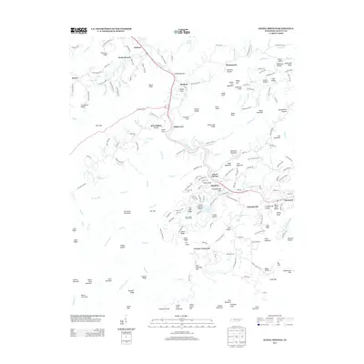
2013 Map of Kinzel Springs
USGS Topo · Published 2013About this map
Little River winds through the heart of this landscape, carving the Chilhowee Gap and connecting the valley communities of Walland, Kinzel Springs, and Townsend. The settlement pattern follows the drainage of the river and its numerous tributaries like Hesse Cr and Davis Br, with homes and roads clustered in the fertile lowlands of Miller Cove and Tuckaleechee. This 2013 survey shows the modern character of the area, where recreational landmarks like the Laurel Valley Golf Course and Laurel Lake sit adjacent to established locales such as Sunshine and Lawson Crossroads. The surrounding terrain is defined by a series of prominent ridges and peaks, including Hurricane Mountain, Hatcher Mountain, and Mount Nebo, which hem in the coves and dictate the winding paths of rural routes like the Foothills Pkwy.
Find a feature on this map
201 named features on this map. Tap any name to fly to it.
Don’t see what you’re looking for? This feature index may not catch every label — zoom into the map to look around manually.
Map Details
Editions of this 2013 Kinzel Springs Map
This is the sole edition of this map. No revisions or reprints were ever made.
Other maps of this area

1886 · Knoxville
USGS Topo · 1:125,000

1892 · Knoxville
USGS Topo · 1:125,000

1894 · Knoxville
USGS Topo · 1:125,000

1895 · Knoxville
USGS Topo · 1:125,000

1901 · Knoxville
USGS Topo · 1:125,000

1935 · Knoxville
USGS Topo · 1:48,000

1935 · Walden Creek
USGS Topo · 1:24,000

1935 · Maryville
USGS Topo · 1:24,000

1935 · Wildwood
USGS Topo · 1:24,000

1935 · Calderwood
USGS Topo · 1:24,000