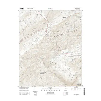
2016 Map of Kinzel Springs
USGS Topo · Published 2016About this map
Tuckaleechee Cove and the northern reaches of Great Smoky Mountains National Park define this landscape, where the Little River winds through the gap between Chilhowee Mountain and the high ridges of Rich Mountain. Settlement follows the lower elevations of Miller Cove and the Dry Valley, with nodes of community history preserved at Kinzel Springs and Townsend. This 2016 survey captures a modern look at a region shaped by its proximity to the national park, where historic routes like the Old Walland Hwy and E Lamar Alexander Pkwy parallel the river. Genealogists will find numerous family and community burial grounds, including the Millers Cove Cem and Caylors Chapel Cem, often situated on the lower slopes near old farmsteads like Fry Fields. The topography transitions from the dramatic height of Cerulean Knob and Double Mountain to the clustered development at Walland.
Find a feature on this map
195 named features on this map. Tap any name to fly to it.
Don’t see what you’re looking for? This feature index may not catch every label — zoom into the map to look around manually.
Map Details
Editions of this 2016 Kinzel Springs Map
This is the sole edition of this map. No revisions or reprints were ever made.
Other maps of this area

1886 · Knoxville
USGS Topo · 1:125,000

1892 · Knoxville
USGS Topo · 1:125,000

1894 · Knoxville
USGS Topo · 1:125,000

1895 · Knoxville
USGS Topo · 1:125,000

1901 · Knoxville
USGS Topo · 1:125,000

1935 · Knoxville
USGS Topo · 1:48,000

1935 · Walden Creek
USGS Topo · 1:24,000

1935 · Maryville
USGS Topo · 1:24,000

1935 · Wildwood
USGS Topo · 1:24,000

1935 · Calderwood
USGS Topo · 1:24,000