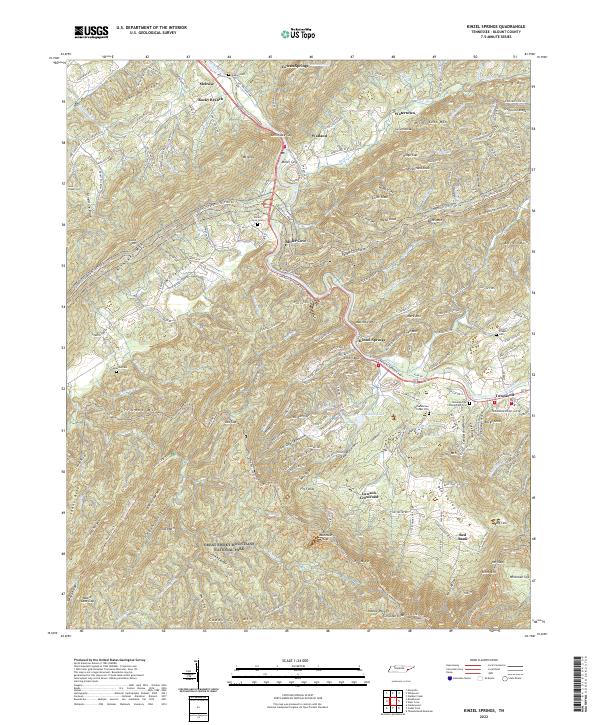
2022 Map of Kinzel Springs
USGS Topo · Published 2022About this map
The northern reaches of the Great Smoky Mountains National Park meet the fertile valley of Miller Cove in this topographic study of Blount County. This transition from the high ridges of Chilhowee Mtn and Beard Cane Mtn into the lowland settlements of Townsend and Kinzel Springs illustrates the deep-rooted community structure of the region. The landscape is dotted with several family and community burial grounds, such as Millers Cove Cem and Laws Chapel Cem, which anchor the local genealogy to the land.
Find a feature on this map
215 named features on this map. Tap any name to fly to it.
Don’t see what you’re looking for? This feature index may not catch every label — zoom into the map to look around manually.
Map Details
Editions of this 2022 Kinzel Springs Map
This is the sole edition of this map. No revisions or reprints were ever made.
Other maps of this area

1886 · Knoxville
USGS Topo · 1:125,000

1892 · Knoxville
USGS Topo · 1:125,000

1894 · Knoxville
USGS Topo · 1:125,000

1895 · Knoxville
USGS Topo · 1:125,000

1901 · Knoxville
USGS Topo · 1:125,000

1935 · Knoxville
USGS Topo · 1:48,000

1935 · Walden Creek
USGS Topo · 1:24,000

1935 · Maryville
USGS Topo · 1:24,000

1935 · Wildwood
USGS Topo · 1:24,000

1935 · Calderwood
USGS Topo · 1:24,000