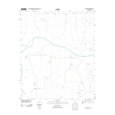
2013 Map of Kiomatia
USGS Topo · Published 2013About this map
The Red River defines the border between Texas and Oklahoma in this riverine landscape, where the confluence with the Kiamichi River creates a complex network of wetlands and seasonal water bodies. The settlement of Kiomatia sits in the southwestern portion of the sheet, connected by a grid of county roads that navigate the low-lying terrain. Near the Oklahoma border to the north, Pilot Knob provides a rare point of elevation overlooking the winding paths of Doaksville Cr and Gates Cr. To the east, the community of Davenport is situated near the unique drainage of Salt Well Slough. The map documents a rural environment dominated by hydrology, featuring numerous named ponds and oxbow-like features such as Wright Lake, Mud Lake, and Flag Pond, which illustrate the shifting nature of the river's historical path through Red River County.
Find a feature on this map
35 named features on this map. Tap any name to fly to it.
Don’t see what you’re looking for? This feature index may not catch every label — zoom into the map to look around manually.
Map Details
Editions of this 2013 Kiomatia Map
This is the sole edition of this map. No revisions or reprints were ever made.
Other maps of this area

1901 · Alikchi
USGS Topo · 1:125,000

1950 · Mcalester
USGS Topo · 1:250,000

1951 · Frogville
USGS Topo · 1:24,000

1951 · Millerton
USGS Topo · 1:24,000

1951 · Negley
USGS Topo · 1:24,000

1951 · Kiomatia
USGS Topo · 1:24,000

1951 · Woodland
USGS Topo · 1:24,000

1951 · Manchester
USGS Topo · 1:24,000

1953 · Texarkana
USGS Topo · 1:250,000

1956 · Texarkana
USGS Topo · 1:250,000