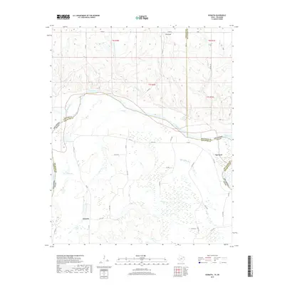
2019 Map of Kiomatia
USGS Topo · Published 2019About this map
The Red River defines the boundary between Texas and Oklahoma in this 2019 survey, winding through a landscape of expansive wetlands and meandering creeks. This segment of the river valley is marked by significant water features such as Wright Lake and Mud Lake, alongside the confluence of the Kiamichi River. On the Texas side, the small settlements of Kiomatia and Davenport sit amidst a network of county roads and sloughs, while the Oklahoma side to the north is characterized by more varied terrain. Notable landmarks include Pilot Knob in the north and the distinct hydrology of Salt Well Slough near the riverbanks. The map documents the intricate drainage patterns of Doaksville Cr and Ford Cr, illustrating the low-lying, water-dominant geography where Red River County meets its neighbors across the state line.
Find a feature on this map
50 named features on this map. Tap any name to fly to it.
Don’t see what you’re looking for? This feature index may not catch every label — zoom into the map to look around manually.
Map Details
Editions of this 2019 Kiomatia Map
This is the sole edition of this map. No revisions or reprints were ever made.
Other maps of this area

1901 · Alikchi
USGS Topo · 1:125,000

1950 · Mcalester
USGS Topo · 1:250,000

1951 · Frogville
USGS Topo · 1:24,000

1951 · Millerton
USGS Topo · 1:24,000

1951 · Negley
USGS Topo · 1:24,000

1951 · Kiomatia
USGS Topo · 1:24,000

1951 · Woodland
USGS Topo · 1:24,000

1951 · Manchester
USGS Topo · 1:24,000

1953 · Texarkana
USGS Topo · 1:250,000

1956 · Texarkana
USGS Topo · 1:250,000