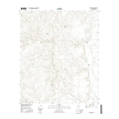
2016 Map of Kiowa Peak
USGS Topo · Published 2016About this map
Kiowa Peak and Davidson Peak stand as prominent landmarks in this section of Stonewall County, where the Texas landscape is deeply carved by significant river systems. The confluence of the Salt Fork Brazos River and the Double Mountain Fork Brazos River marks a primary hydrologic feature of the region, defining the drainage patterns and topography. The terrain is characterized by a series of dramatic incisions including Smelter Canyon, Panther Canyon, and Beaver Canyon, which reveal the erosive power of the watercourses that feed into the Brazos River. This 2016 survey illustrates a largely unpopulated ranching and natural area, sparsely connected by routes such as Co RD 231 and C R 233. Water sources like Beaver Springs and Keller Lake appear as vital points in this arid environment, flanked by smaller drainages like Wellington Cr and Wilfong Cr.
Find a feature on this map
19 named features on this map. Tap any name to fly to it.
Don’t see what you’re looking for? This feature index may not catch every label — zoom into the map to look around manually.
Map Details
Editions of this 2016 Kiowa Peak Map
This is the sole edition of this map. No revisions or reprints were ever made.
Other maps of this area

1925 · Aspermont 4-a
USGS Topo · 1:48,000

1925 · Haskell 3-b
USGS Topo · 1:48,000

1931 · Aspermont
USGS Topo · 1:62,500

1954 · Lubbock
USGS Topo · 1:250,000

1954 · Wichita Falls
USGS Topo · 1:250,000

1958 · Wichita Falls
USGS Topo · 1:250,000

1962 · Kiowa Peak
USGS Topo · 1:24,000

1965 · Jud
USGS Topo · 1:24,000

1967 · Knox City NW
USGS Topo · 1:24,000

1967 · Kiowa Peak NW
USGS Topo · 1:24,000