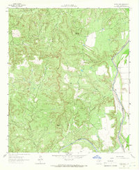
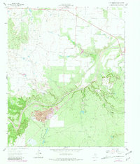
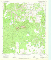
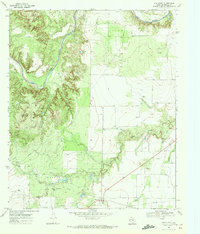
1962 Map of Kiowa Peak
USGS Topo · Published 1966This historical map portrays the area of Kiowa Peak in 1962, primarily covering Stonewall County. Featuring a scale of 1:24000, this map provides a highly detailed snapshot of the terrain, roads, buildings, counties, and historical landmarks in the Kiowa Peak region at the time. Published in 1966, it is one of 2 known editions of this map due to revisions or reprints.
Find a feature on this map
16 named features on this map. Tap any name to fly to it.
Don’t see what you’re looking for? This feature index may not catch every label — zoom into the map to look around manually.
Map Details
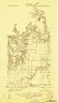
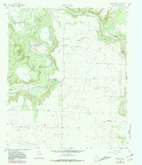
Editions of this 1962 Kiowa Peak Map
2 editions found
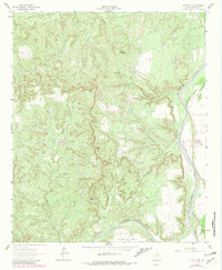
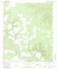
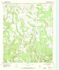
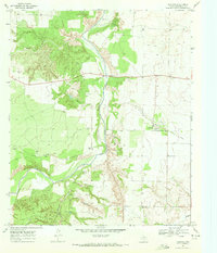
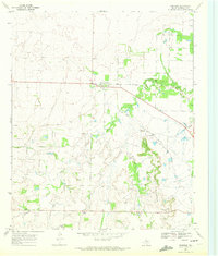
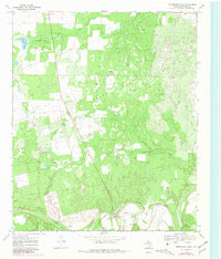
Historical Maps of Stonewall County Through Time
12 maps found
1925 Aspermont 4-a
Stonewall County, TX
1958 Lovers Resort
Stonewall County, TX
1958 Seven Diamond L Canyon
Stonewall County, TX
1962 Frog Mountain
Stonewall County, TX
1962 Kiowa Peak
Stonewall County, TX
1967 Kiowa Peak SW
Stonewall County, TX
1968 Coon Hollow
Stonewall County, TX
1968 Double Mountains
Stonewall County, TX
1968 Peacock
Stonewall County, TX
1968 Swenson
Stonewall County, TX
1969 Aspermont Lake
Stonewall County, TX
1969 Old Glory
Stonewall County, TX