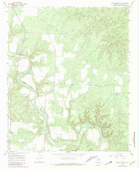
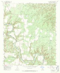
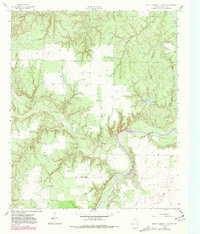
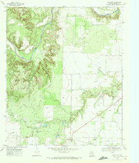
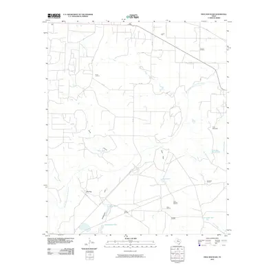
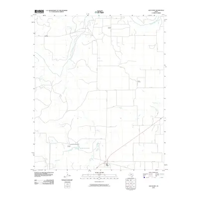
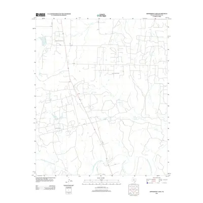
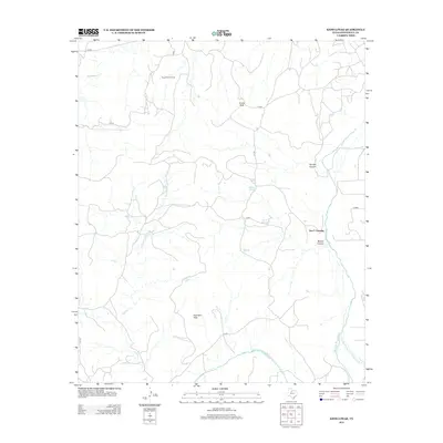
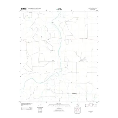
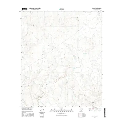
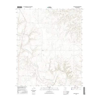
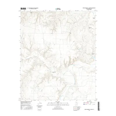
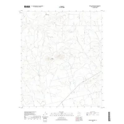
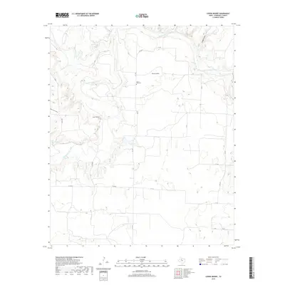
1967 Map of Kiowa Peak SW
USGS Topo · Published 1981About this map
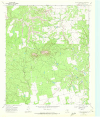
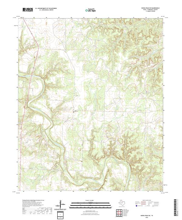
The Salt Fork Brazos River winds through this West Texas landscape, defining the topography of Stonewall County as it was documented in the late 1960s and updated through 1981. The river's path is marked by a Gaging Sta and a small Roadside Park, while smaller tributaries like Stinking Creek and Wellington Creek feed into the main waterway. This map captures the industrial character of the era, dominated by the Bissett Ranch Oil Field and numerous Oil Well sites scattered throughout the terrain.
Find a feature on this map
12 named features on this map. Tap any name to fly to it.
Don’t see what you’re looking for? This feature index may not catch every label — zoom into the map to look around manually.
Map Details
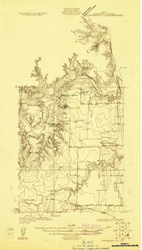
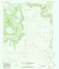
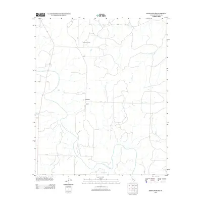
Editions of this 1967 Kiowa Peak SW Map
2 editions found
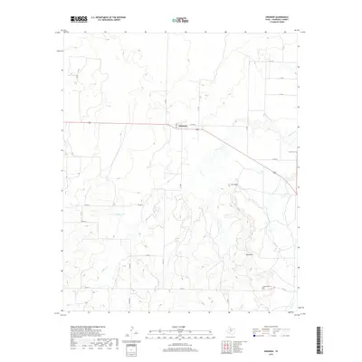
Historical Maps of Geneview Through Time
67 maps found
1925 Aspermont 4-a
Stonewall County, TX
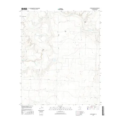
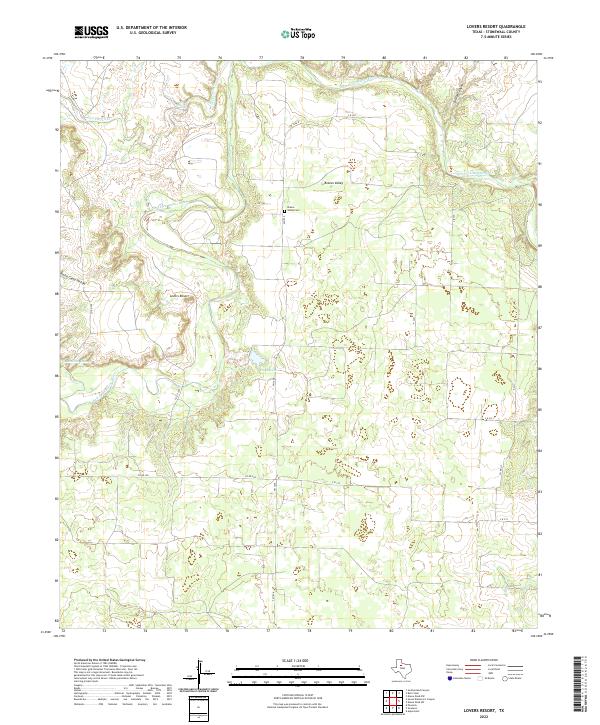
1958 Lovers Resort
Stonewall County, TX
1958 Seven Diamond L Canyon
Stonewall County, TX
1962 Frog Mountain
Stonewall County, TX
1962 Kiowa Peak
Stonewall County, TX
1967 Kiowa Peak SW
Stonewall County, TX
1968 Coon Hollow
Stonewall County, TX
1968 Double Mountains
Stonewall County, TX
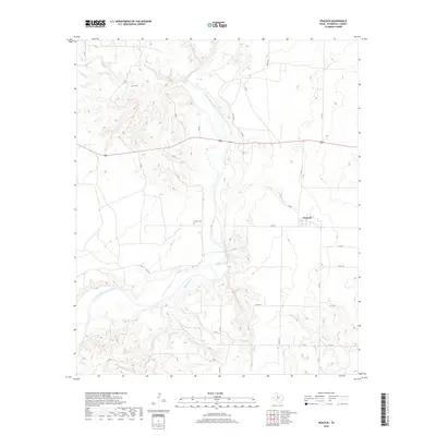
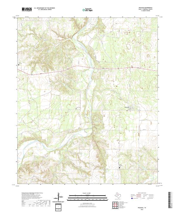
1968 Peacock
Stonewall County, TX
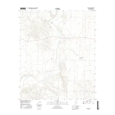
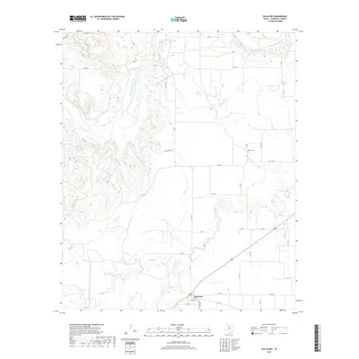
1968 Swenson
Stonewall County, TX
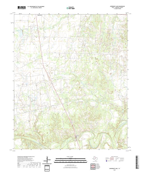
1969 Aspermont Lake
Stonewall County, TX
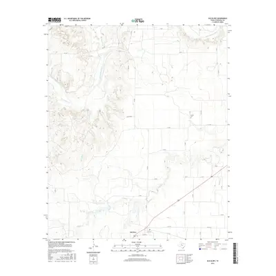
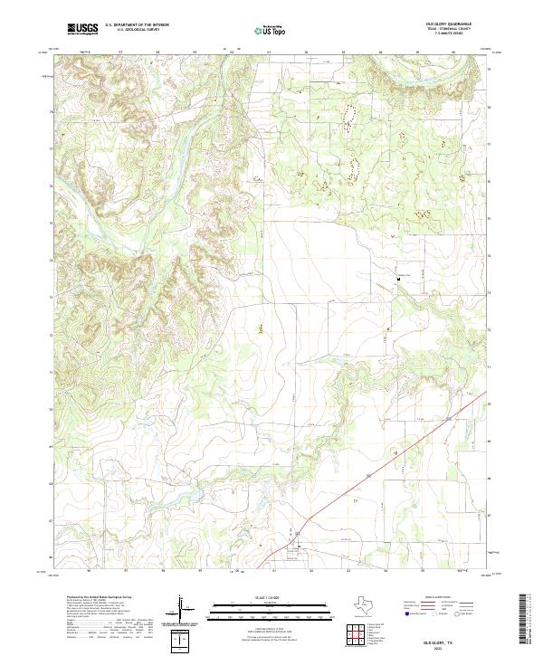
1969 Old Glory
Stonewall County, TX
2010 Aspermont Lake
Stonewall County, TX
2010 Coon Hollow
Stonewall County, TX
2010 Double Mountains
Stonewall County, TX
2010 Frog Mountain
Stonewall County, TX
2010 Kiowa Peak
Stonewall County, TX
2010 Kiowa Peak SW
Stonewall County, TX
2010 Lovers Resort
Stonewall County, TX
2010 Old Glory
Stonewall County, TX
2010 Peacock
Stonewall County, TX
2010 Seven Diamond L Canyon
Stonewall County, TX
2010 Swenson
Stonewall County, TX
2012 Aspermont Lake
Stonewall County, TX
2012 Coon Hollow
Stonewall County, TX
2012 Double Mountains
Stonewall County, TX
2012 Frog Mountain
Stonewall County, TX
2012 Kiowa Peak
Stonewall County, TX
2012 Kiowa Peak SW
Stonewall County, TX
2012 Lovers Resort
Stonewall County, TX
2012 Old Glory
Stonewall County, TX
2012 Peacock
Stonewall County, TX
2012 Seven Diamond L Canyon
Stonewall County, TX
2012 Swenson
Stonewall County, TX
2016 Aspermont Lake
Stonewall County, TX
2016 Coon Hollow
Stonewall County, TX
2016 Double Mountains
Stonewall County, TX
2016 Frog Mountain
Stonewall County, TX
2016 Kiowa Peak
Stonewall County, TX
2016 Kiowa Peak SW
Stonewall County, TX
2016 Lovers Resort
Stonewall County, TX
2016 Old Glory
Stonewall County, TX
2016 Peacock
Stonewall County, TX
2016 Seven Diamond L Canyon
Stonewall County, TX
2016 Swenson
Stonewall County, TX
2019 Aspermont Lake
Stonewall County, TX
2019 Coon Hollow
Stonewall County, TX
2019 Double Mountains
Stonewall County, TX
2019 Frog Mountain
Stonewall County, TX
2019 Kiowa Peak
Stonewall County, TX
2019 Kiowa Peak SW
Stonewall County, TX
2019 Lovers Resort
Stonewall County, TX
2019 Old Glory
Stonewall County, TX
2019 Peacock
Stonewall County, TX

2019 Seven Diamond L Canyon
Stonewall County, TX
2019 Swenson
Stonewall County, TX
2022 Aspermont Lake
Stonewall County, TX
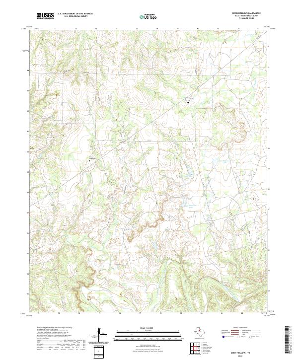
2022 Coon Hollow
Stonewall County, TX

2022 Double Mountains
Stonewall County, TX
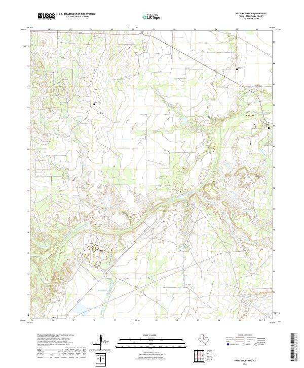
2022 Frog Mountain
Stonewall County, TX
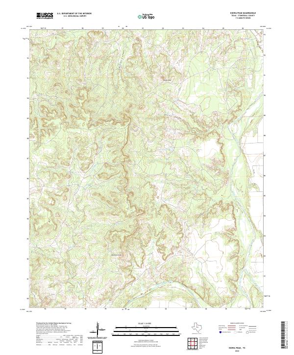
2022 Kiowa Peak
Stonewall County, TX
2022 Kiowa Peak SW
Stonewall County, TX
2022 Lovers Resort
Stonewall County, TX
2022 Old Glory
Stonewall County, TX
2022 Peacock
Stonewall County, TX
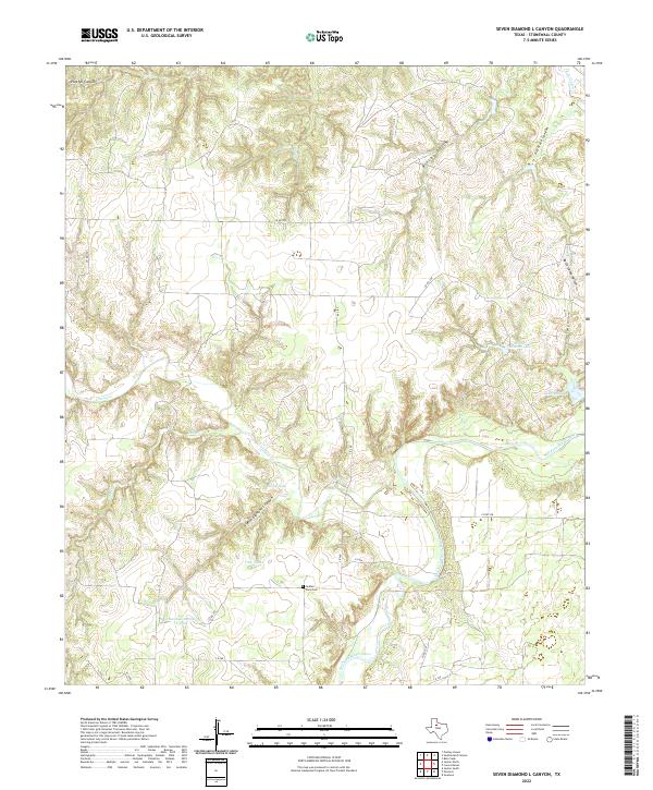
2022 Seven Diamond L Canyon
Stonewall County, TX
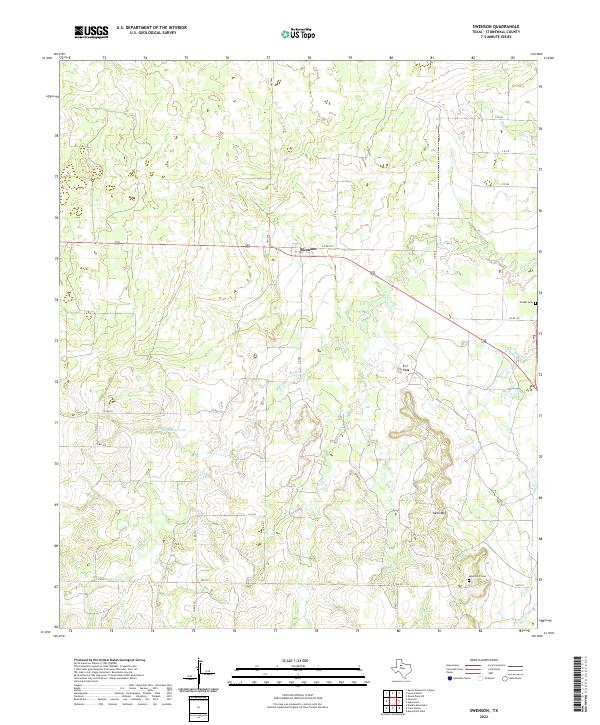
2022 Swenson
Stonewall County, TX