
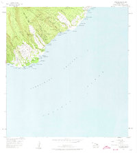
1957 Map of Kipahulu
USGS Topo · Published 1959About this map
Kipahulu Valley dominates the landscape of this 1950s survey, showing the dramatic transition from the high ridges of the Hana Forest Reserve down to the rugged coastline of the Alenuihaha Channel. Coastal life in the late 1950s centered on small settlements like Kipahulu, Wailua, and Haou, linked by the winding Hana Highway. Local history is preserved in features such as the Kapekuua Heiau and a Cemetery near the shore, reflecting the deep cultural roots of the area.
Find a feature on this map
92 named features on this map. Tap any name to fly to it.
Don’t see what you’re looking for? This feature index may not catch every label — zoom into the map to look around manually.
Map Details
Editions of this 1957 Kipahulu Map
2 editions found
Other maps of this area

1954 · Maui
USGS Topo · 1:250,000

1957 · Hana
USGS Topo · 1:24,000

1957 · Nahiku
USGS Topo · 1:24,000

1957 · Kaupo
USGS Topo · 1:24,000

1966 · Maui
USGS Topo · 1:250,000

1974 · Maui
USGS Topo · 1:250,000

1978 · Hana
USGS Topo · 1:24,000

1983 · Nahiku
USGS Topo · 1:24,000
1983 · Kaupo
USGS Topo · 1:24,000
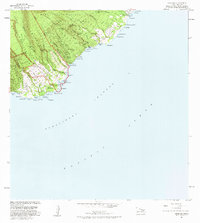
1983 · Kipahulu
USGS Topo · 1:24,000