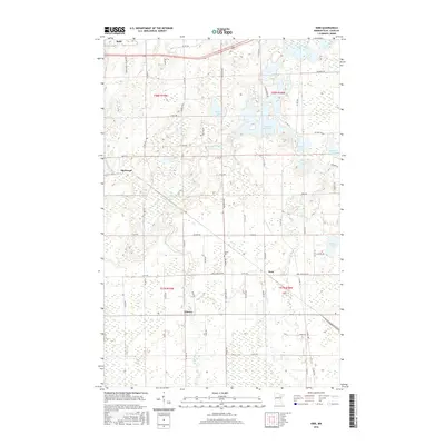
2016 Map of Kirk
USGS Topo · Published 2016About this map
W Two River Reservoir and Doherty Lake dominate the northern landscape of this Saint Louis County region, illustrating a geography shaped by industrial water management and the natural hydrology of the Iron Range. The map details the rural character of the area through small settlements and residential pockets such as Kirk, Cherry, and Sherwood, while the city of Buhl appears on the northwestern edge. The transition from established neighborhoods to wetland complexes is evident, with the W-Two-River and E Two River systems weaving between sections. Local history is anchored by sites like Bethel Cem and an extensive network of county roads, including Co HWY 25 and Co HWY 62, which reflect the logistical layout of this mining-adjacent terrain in the early twenty-first century.
Find a feature on this map
64 named features on this map. Tap any name to fly to it.
Don’t see what you’re looking for? This feature index may not catch every label — zoom into the map to look around manually.
Map Details
Editions of this 2016 Kirk Map
This is the sole edition of this map. No revisions or reprints were ever made.
Other maps of this area

1951 · Eveleth
USGS Topo · 1:24,000

1951 · Virginia
USGS Topo · 1:24,000

1951 · Kinney
USGS Topo · 1:24,000

1951 · Kirk
USGS Topo · 1:24,000

1951 · Zim
USGS Topo · 1:24,000

1951 · Casco
USGS Topo · 1:24,000

1951 · Buhl
USGS Topo · 1:24,000

1952 · Little Swan
USGS Topo · 1:24,000

1954 · Hibbing
USGS Topo · 1:250,000

1955 · Dewey Lake SE
USGS Topo · 1:24,000