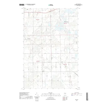
2019 Map of Kirk
USGS Topo · Published 2019About this map
Mountain Iron and the surrounding Mesabi Range landscape appear here in a period defined by its complex hydrology and small iron-range settlements. The northern portion of the quadrangle is dominated by the sprawling waters of the West Two River Reservoir and Doherty Lake, feeding into the southward-flowing W Two River and E Two River. These waterways segment the township lines of t58n r19w and t57n r18w, where the small communities of Buhl, Sherwood, and Kirk are situated along a grid of county roads. Further south, the settlement of Cherry provides a focal point for local history researchers, particularly with the inclusion of the Cherry-Clinton Cem. The map's detailed recording of rural infrastructure, such as Iron Junction Rd and Maxwell Rd, illustrates the persistent connectivity between these mining-era towns and their outlying residential and agricultural plots.
Find a feature on this map
40 named features on this map. Tap any name to fly to it.
Don’t see what you’re looking for? This feature index may not catch every label — zoom into the map to look around manually.
Map Details
Editions of this 2019 Kirk Map
This is the sole edition of this map. No revisions or reprints were ever made.
Other maps of this area

1951 · Eveleth
USGS Topo · 1:24,000

1951 · Virginia
USGS Topo · 1:24,000

1951 · Kinney
USGS Topo · 1:24,000

1951 · Kirk
USGS Topo · 1:24,000

1951 · Zim
USGS Topo · 1:24,000

1951 · Casco
USGS Topo · 1:24,000

1951 · Buhl
USGS Topo · 1:24,000

1952 · Little Swan
USGS Topo · 1:24,000

1954 · Hibbing
USGS Topo · 1:250,000

1955 · Dewey Lake SE
USGS Topo · 1:24,000