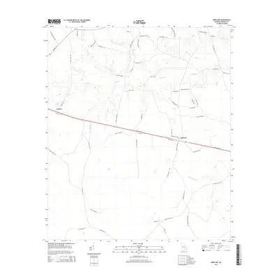
2014 Map of Kirkland
USGS Topo · Published 2014About this map
Kirkland and Leliaton anchor this portion of Atkinson County, situated along the primary east-west transportation corridor of Atkinson Boulevard. The landscape is defined by a dense network of watercourses and wetlands, including the swampy expanse of Dark Bay and the winding paths of Pudding Cr and Reedy Cr. This terrain, characteristic of the Georgia coastal plain, is marked by numerous family-named roads such as Gene Waldron Ln, Harvey Newbern RD, and Bobby Minchew Ln, which suggest a long-standing agricultural and residential pattern in the region. The map also traces significant drainage systems like Little Red Bluff Cr and Mill Cr, which together with Vickers Lake illustrate the local hydrology that historically shaped land use and settlement placement in the area.
Find a feature on this map
59 named features on this map. Tap any name to fly to it.
Don’t see what you’re looking for? This feature index may not catch every label — zoom into the map to look around manually.
Map Details
Editions of this 2014 Kirkland Map
This is the sole edition of this map. No revisions or reprints were ever made.
Other maps of this area

1953 · Waycross
USGS Topo · 1:250,000

1958 · Waycross
USGS Topo · 1:250,000

1971 · Douglas South
USGS Topo · 1:24,000

1971 · Pearson
USGS Topo · 1:24,000

1972 · Kirkland
USGS Topo · 1:24,000

1972 · Willacoochee
USGS Topo · 1:24,000

1972 · Lax
USGS Topo · 1:24,000

1972 · Sandy Bottom
USGS Topo · 1:24,000

1972 · Henderson Still
USGS Topo · 1:24,000

1972 · Mora
USGS Topo · 1:24,000