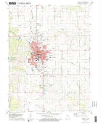
1979 Map of Kirksville
USGS Topo · Published 1979About this map
Kirksville serves as the focal point of this Adair County survey, showcasing its established role as a regional hub for education and medicine. The campus of Northeast Mo State University dominates the eastern side of the city center, while the Kirksville College of Osteopathic Med is located just to the west. Transportation infrastructure is clearly defined by the crossing of the Burlington Northern and Norfolk and Western railroads, including a visible Old Railroad Grade north of the city.
Find a feature on this map
50 named features on this map. Tap any name to fly to it.
Don’t see what you’re looking for? This feature index may not catch every label — zoom into the map to look around manually.
Map Details
Editions of this 1979 Kirksville Map
2 editions found
Other maps of this area

1903 · Edina
USGS Topo · 1:125,000

1911 · Queen City
USGS Topo · 1:62,500

1913 · Queen City
USGS Topo · 1:62,500

1938 · Kirksville
USGS Topo · 1:62,500

1940 · Kirksville
USGS Topo · 1:62,500

1954 · Centerville
USGS Topo · 1:250,000

1957 · Centerville
USGS Topo · 1:250,000

1958 · Centerville
USGS Topo · 1:250,000

1966 · Brashear
USGS Topo · 1:24,000
1966 · Willmathsville
USGS Topo · 1:24,000