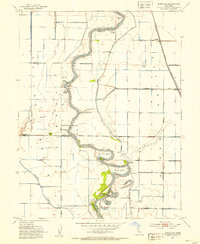
1952 Map of Kirkville
USGS Topo · Published 1953About this map
The Sacramento River meanders through this 1952 topographic study, its complex hydrology defined by a series of dramatic river bends and landings that served the region's agricultural economy. Settlements like Cranmore and Everglade anchor the landscape, while numerous river access points such as Poffenbergers Landing, Millers Landing, and Tyndall Landing highlight the historic importance of the waterway for transport and trade. The terrain is characterized by low-lying basins and natural features like Tyndall Mound and Chicken Grove, set against a backdrop of extensive levee systems and canals.
Find a feature on this map
45 named features on this map. Tap any name to fly to it.
Don’t see what you’re looking for? This feature index may not catch every label — zoom into the map to look around manually.
Map Details
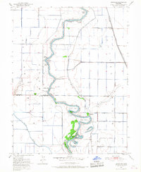
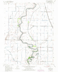
Editions of this 1952 Kirkville Map
3 editions found
Other maps of this area

1888 · Marysville
USGS Topo · 1:125,000

1891 · Marysville
USGS Topo · 1:125,000

1894 · Marysville
USGS Topo · 1:125,000

1895 · Marysville
USGS Topo · 1:125,000

1907 · Dunnigan
USGS Topo · 1:62,500

1910 · Knights Landing
USGS Topo · 1:31,680

1910 · Marcuse
USGS Topo · 1:31,680

1911 · Grimes
USGS Topo · 1:31,680

1911 · Gilsizer Slough
USGS Topo · 1:31,680
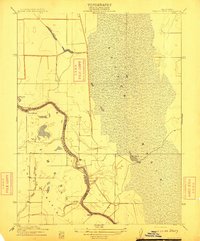
1912 · Tisdale Weir
USGS Topo · 1:31,680