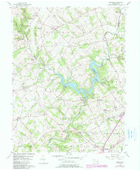
1955 Map of Kirkwood
USGS Topo · Published 1990About this map
Octoraro Lake and the winding Octoraro Creek define this rural landscape on the border of Lancaster and Chester counties. The area reflects a deeply rooted agricultural and community network, anchored by local institutions like Wesley Ch, Colerain Cem Ch, and the Salem Sch. The settlement pattern is dispersed across small hubs such as Kirkwood, Little Britain, and Oxford, connected by winding roads that follow the ridges between numerous runs and branches.
Find a feature on this map
62 named features on this map. Tap any name to fly to it.
Don’t see what you’re looking for? This feature index may not catch every label — zoom into the map to look around manually.
Map Details
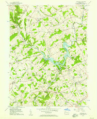
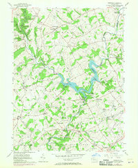
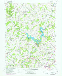
Editions of this 1955 Kirkwood Map
4 editions found
Other maps of this area

1898 · Elkton
USGS Topo · 1:62,500

1900 · Elkton
USGS Topo · 1:62,500

1900 · Havre De Grace
USGS Topo · 1:62,500

1904 · Coatesville
USGS Topo · 1:62,500

1906 · Coatesville
USGS Topo · 1:62,500

1912 · Quarryville
USGS Topo · 1:62,500

1917 · Elkton
USGS Topo · 1:62,500

1918 · Coatesville
USGS Topo · 1:62,500

1942 · Havre De Grace
USGS Topo · 1:62,500

1942 · Elkton
USGS Topo · 1:62,500
Featured Places
- Little Britain Township, PA
- West Nottingham Township, PA
- Upper Oxford Township, PA
- Colerain Township, PA
- East Drumore Township, PA