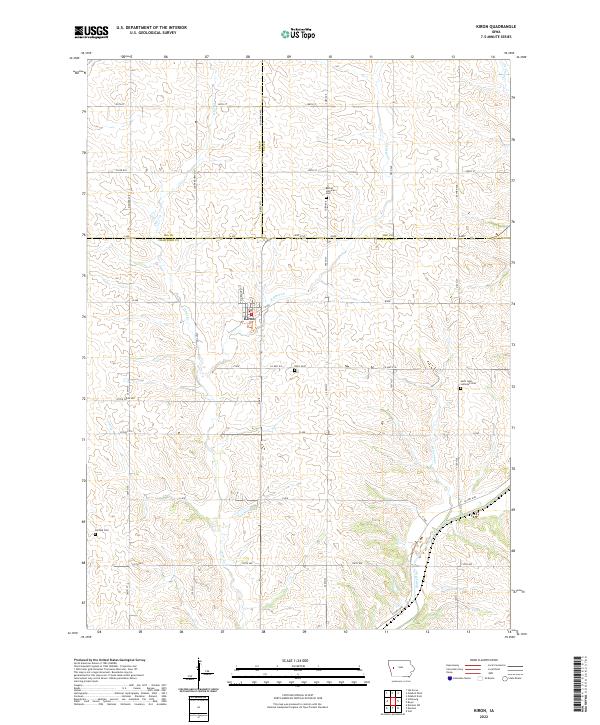
2022 Map of Kiron
USGS Topo · Published 2022About this map
Kiron serves as the central hub of this agricultural landscape where the borders of Crawford, Ida, and Sac Counties converge. The town's grid is oriented around N Orange St and B Ave, situated just north of the Kiron Cem. The surrounding countryside is defined by the drainage basins of the Boyer River and several tributaries, including Otter Cr and E Otter Cr.
Find a feature on this map
43 named features on this map. Tap any name to fly to it.
Don’t see what you’re looking for? This feature index may not catch every label — zoom into the map to look around manually.
Map Details
Editions of this 2022 Kiron Map
This is the sole edition of this map. No revisions or reprints were ever made.
Other maps of this area

1954 · Fort Dodge
USGS Topo · 1:250,000

1957 · Fort Dodge
USGS Topo · 1:250,000

1958 · Fort Dodge
USGS Topo · 1:250,000

1967 · Ida Grove
USGS Topo · 1:24,000

1971 · Schleswig
USGS Topo · 1:24,000

1971 · Denison
USGS Topo · 1:24,000
1971 · Denison SW
USGS Topo · 1:24,000

1971 · Kiron
USGS Topo · 1:24,000

1980 · Odebolt East
USGS Topo · 1:24,000

1980 · Boyer
USGS Topo · 1:24,000