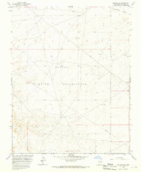
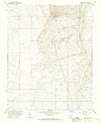
1966 Map of Kirtland SE
USGS Topo · Published 1970About this map
The Navajo Indian Reservation dominates this mid-1960s landscape in San Juan County, revealing a terrain defined by arid drainage patterns and early energy exploration. The Ojo Amarillo Canyon cuts through the northeast corner, while a persistent Pipeline traverses the southern half of the quadrangle, reflecting the industrial infrastructure moving across the high desert. Scattered evidence of subterranean resources appears in the form of multiple Drill Holes and a Gas Well, marking the area's role in the regional extraction economy during the mid-century. Away from these industrial points, the map shows a sparse network of unimproved roads and light-duty tracks, including routes leading toward Blackwater Well. This survey, compiled from 1964 aerial photography and 1965 planetable work by the Bureau of Reclamation, serves as a record of the land before more modern development reached this section of New Mexico.
Find a feature on this map
11 named features on this map. Tap any name to fly to it.
Don’t see what you’re looking for? This feature index may not catch every label — zoom into the map to look around manually.
Map Details
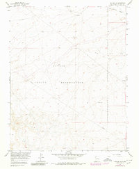
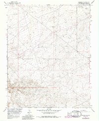
Editions of this 1966 Kirtland SE Map
3 editions found
Other maps of this area

1889 · Chaco
USGS Topo · 1:250,000

1892 · Chaco
USGS Topo · 1:250,000

1927 · Sulphur Spring
USGS Topo · 1:96,000

1928 · Kirtland
USGS Topo · 1:125,000

1932 · Kirtland
USGS Topo · 1:125,000

1954 · Shiprock
USGS Topo · 1:250,000

1958 · Shiprock
USGS Topo · 1:250,000

1959 · Shiprock
USGS Topo · 1:250,000
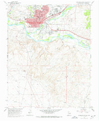
1965 · Farmington South
USGS Topo · 1:24,000
1965 · Hugh Lake
USGS Topo · 1:24,000