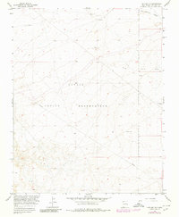
1966 Map of Kirtland SE
USGS Topo · Published 1980About this map
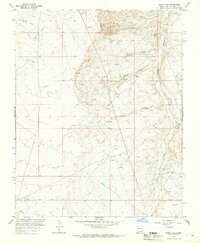
The Navajo Indian Reservation landscape recorded in this mid-1960s survey reveals a high desert expanse defined by its energy development and drainage patterns. Energy infrastructure is the primary human footprint, marked by a prominent Pipeline cutting diagonally across the terrain and numerous resource extraction points including a Gas Well and several labels for a Drill Hole. These industrial markers sit alongside traditional landmarks such as the Blackwater Well, reflecting the era's focus on surveying mineral and water resources for the Bureau of Reclamation. In the northeast corner, the Ojo Amarillo Canyon provides the most significant natural topographic relief, carving through the sandstone-capped plateaus. This edition, which includes 1978 revisions, serves as a record of land use and resource management in San Juan County during a period of transition in the American Southwest.
Find a feature on this map
9 named features on this map. Tap any name to fly to it.
Don’t see what you’re looking for? This feature index may not catch every label — zoom into the map to look around manually.
Map Details
Editions of this 1966 Kirtland SE Map
3 editions found
Other maps of this area

1889 · Chaco
USGS Topo · 1:250,000

1892 · Chaco
USGS Topo · 1:250,000

1927 · Sulphur Spring
USGS Topo · 1:96,000

1928 · Kirtland
USGS Topo · 1:125,000

1932 · Kirtland
USGS Topo · 1:125,000

1954 · Shiprock
USGS Topo · 1:250,000

1958 · Shiprock
USGS Topo · 1:250,000

1959 · Shiprock
USGS Topo · 1:250,000
1965 · Farmington South
USGS Topo · 1:24,000
1965 · Hugh Lake
USGS Topo · 1:24,000