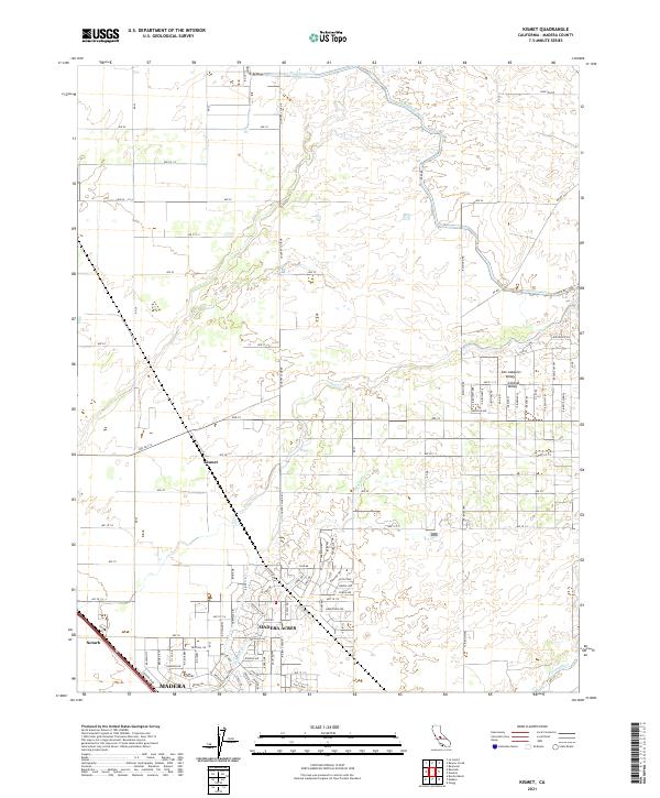
2021 Map of Kismet
USGS Topo · Published 2021About this map
Madera Acres and the surrounding agricultural landscape of the San Joaquin Valley are defined by a sophisticated water management system necessary for cultivation in this arid region. The Madera Canal cuts across the northern terrain, feeding the network of fields near Kismet and Notarb. Local hydrology is marked by ephemeral waterways such as Dry Cr and Schmidt Cr, while the Fresno River flows through the southern portion of the quadrangle. This 2021 survey shows the modern grid of rural roads, including Country Club Dr and Raymond Rd, which facilitate transport through the productive farmlands north of Madera. The map documents the residential expansion within the Central Valley as it interfaces with established ranching and irrigation infrastructure.
Find a feature on this map
98 named features on this map. Tap any name to fly to it.
Don’t see what you’re looking for? This feature index may not catch every label — zoom into the map to look around manually.
Map Details
Editions of this 2021 Kismet Map
This is the sole edition of this map. No revisions or reprints were ever made.
Other maps of this area

1912 · Mariposa
USGS Topo · 1:125,000

1916 · Berenda
USGS Topo · 1:31,680

1918 · Berenda
USGS Topo · 1:31,680

1918 · La Grand
USGS Topo · 1:31,680

1919 · Raynor Creek
USGS Topo · 1:31,680

1920 · Kismet
USGS Topo · 1:31,680

1920 · Bonita Ranch
USGS Topo · 1:31,680

1921 · Daulton
USGS Topo · 1:31,680

1921 · Bonita Ranch
USGS Topo · 1:31,680

1922 · Gregg
USGS Topo · 1:31,680
Featured Places
- Madera, CA
- Madera Acres, CA
- Madera Country Club Estates, CA
- Madera Highlands, CA
- Valley Lake Ranchos, CA