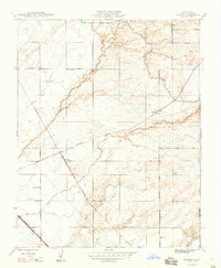
1948 Map of Kismet
USGS Topo · Published 1948About this map
The Central Valley landscape of Madera County is defined by its early-century infrastructure in this 1948 revision. The small siding of Kismet serves as a focal point along the Atchison Topeka and Santa Fe railroad, which cuts diagonally through a terrain marked by numerous windmills and an evolving irrigation network. The presence of the Southern Pacific line further south near Notarb highlights the region's importance as a transportation corridor for agricultural goods.
Find a feature on this map
14 named features on this map. Tap any name to fly to it.
Don’t see what you’re looking for? This feature index may not catch every label — zoom into the map to look around manually.
Map Details
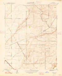
Editions of this 1948 Kismet Map
2 editions found
Other maps of this area

1912 · Mariposa
USGS Topo · 1:125,000

1916 · Berenda
USGS Topo · 1:31,680

1918 · Berenda
USGS Topo · 1:31,680

1918 · La Grand
USGS Topo · 1:31,680

1919 · Raynor Creek
USGS Topo · 1:31,680

1920 · Kismet
USGS Topo · 1:31,680

1920 · Bonita Ranch
USGS Topo · 1:31,680

1921 · Daulton
USGS Topo · 1:31,680

1921 · Bonita Ranch
USGS Topo · 1:31,680

1922 · Gregg
USGS Topo · 1:31,680