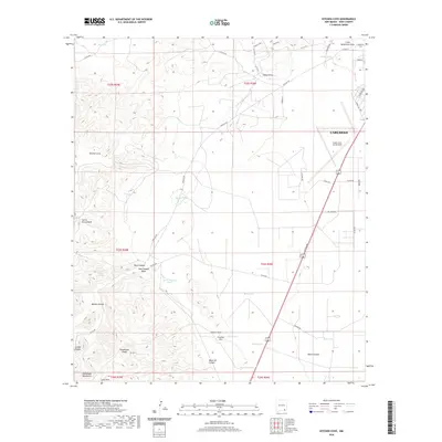
2020 Map of Kitchen Cove
USGS Topo · Published 2020About this map
Guadalupe Ridge and the foothills of the Guadalupe Mountains dominate this southwestern New Mexico landscape, where the high desert terrain transitions into the city of Carlsbad. This area serves as a critical gateway to the region's famous subterranean geography, anchored by the Cavern City Air Terminal in the northeast. The map reveals a complex network of canyons and draws, including Dark Canyon, Mosley Canyon, and Kitchen Cove, which define the drainage patterns of the Cueva Escarpment.
Find a feature on this map
50 named features on this map. Tap any name to fly to it.
Don’t see what you’re looking for? This feature index may not catch every label — zoom into the map to look around manually.
Map Details
Editions of this 2020 Kitchen Cove Map
This is the sole edition of this map. No revisions or reprints were ever made.
Other maps of this area

1939 · Carlsbad
USGS Topo · 1:62,500

1943 · Carlsbad
USGS Topo · 1:62,500

1943 · West Carlsbad
USGS Topo · 1:62,500

1945 · West Carlsbad
USGS Topo · 1:62,500

1945 · Carlsbad Caverns East
USGS Topo · 1:62,500

1945 · Malaga
USGS Topo · 1:62,500

1946 · Malaga
USGS Topo · 1:62,500

1947 · Carlsbad Caverns East
USGS Topo · 1:62,500

1954 · Carlsbad
USGS Topo · 1:250,000

1958 · Carlsbad
USGS Topo · 1:250,000