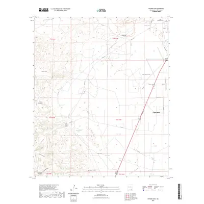
2023 Map of Kitchen Cove
USGS Topo · Published 2023About this map
Carlsbad serves as the eastern anchor for this area of Eddy County, where the transition from municipal outskirts to the rugged foothills of the Guadalupe Mountains becomes apparent. The landscape is defined by a complex network of drainage systems, including Dark Canyon Draw and Elbow Draw, which cut through the high desert terrain. Notable geographic features such as the Cueva Escarpment and the Frontier Hills provide significant relief, while the western edge of the sheet climbs toward the high ground of Guadalupe Ridge.
Find a feature on this map
48 named features on this map. Tap any name to fly to it.
Don’t see what you’re looking for? This feature index may not catch every label — zoom into the map to look around manually.
Map Details
Editions of this 2023 Kitchen Cove Map
This is the sole edition of this map. No revisions or reprints were ever made.
Other maps of this area

1939 · Carlsbad
USGS Topo · 1:62,500

1943 · Carlsbad
USGS Topo · 1:62,500

1943 · West Carlsbad
USGS Topo · 1:62,500

1945 · West Carlsbad
USGS Topo · 1:62,500

1945 · Carlsbad Caverns East
USGS Topo · 1:62,500

1945 · Malaga
USGS Topo · 1:62,500

1946 · Malaga
USGS Topo · 1:62,500

1947 · Carlsbad Caverns East
USGS Topo · 1:62,500

1954 · Carlsbad
USGS Topo · 1:250,000

1958 · Carlsbad
USGS Topo · 1:250,000