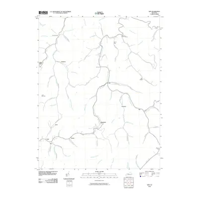
2010 Map of Kite
USGS Topo · Published 2010About this map
Pippa Passes and the surrounding hollows of Knott County define this detailed 2010 study of eastern Kentucky's coal country. The landscape is marked by a intricate network of waterways like the Right Fork Beaver Creek and Caney Fork, which dictated the location of small, dispersed settlements and family landholdings. Communities such as Hollybush, Martinsville, and Puncheon are positioned along these valley floors, connected by a dense web of local routes like Dry Creek Rd and Arnold Fork Rd. Genealogists will find particular value in the documentation of several local burial grounds, including Bald Hill Cemetery and Topmost Cemetery. The map also captures essential local infrastructure of the era, from the Topmost Post Office to the Kite Post Office, alongside notable topographical landmarks like Trace Mountain and the passage at Beaver Gap.
Find a feature on this map
81 named features on this map. Tap any name to fly to it.
Don’t see what you’re looking for? This feature index may not catch every label — zoom into the map to look around manually.
Map Details
Editions of this 2010 Kite Map
This is the sole edition of this map. No revisions or reprints were ever made.
Other maps of this area

1890 · Whitesburg
USGS Topo · 1:125,000

1892 · Whitesburg
USGS Topo · 1:125,000

1912 · Pound
USGS Topo · 1:48,000

1912 · Hindman
USGS Topo · 1:48,000

1913 · Oven Fork
USGS Topo · 1:48,000

1914 · Pound
USGS Topo · 1:62,500

1914 · Vergie
USGS Topo · 1:48,000

1915 · Hindman
USGS Topo · 1:62,500

1915 · Whitesburg
USGS Topo · 1:62,500

1916 · Pikeville
USGS Topo · 1:62,500