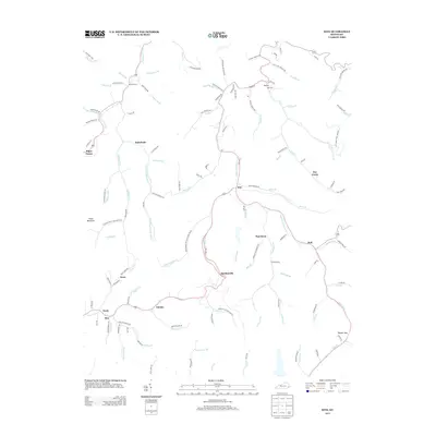
2013 Map of Kite
USGS Topo · Published 2013About this map
Pippa Passes and the surrounding hollows of Knott County appear in this 2013 geographic study, revealing a landscape defined by its intricate water systems and small, creek-side settlements. The map highlights the rugged topography around Trace Mountain and the winding course of the Right Fork Beaver Cr, where numerous branches and forks like Cottonpatch Br and Arnold Fork dictated the placement of roads and homesteads. Local history is anchored by sites such as Bald Hill Cem and Topmost Hall Cem, which serve as permanent markers of family lineage in the region. Small communities like Kite, Martinsville, and Omaha are connected by a network of local roads including Hemp Patch Rd and Hollybush Rd, reflecting a traditional Appalachian settlement pattern where life and transport are oriented along the narrow valley floors of the Carr Fork drainage.
Find a feature on this map
129 named features on this map. Tap any name to fly to it.
Don’t see what you’re looking for? This feature index may not catch every label — zoom into the map to look around manually.
Map Details
Editions of this 2013 Kite Map
This is the sole edition of this map. No revisions or reprints were ever made.
Other maps of this area

1890 · Whitesburg
USGS Topo · 1:125,000

1892 · Whitesburg
USGS Topo · 1:125,000

1912 · Pound
USGS Topo · 1:48,000

1912 · Hindman
USGS Topo · 1:48,000

1913 · Oven Fork
USGS Topo · 1:48,000

1914 · Pound
USGS Topo · 1:62,500

1914 · Vergie
USGS Topo · 1:48,000

1915 · Hindman
USGS Topo · 1:62,500

1915 · Whitesburg
USGS Topo · 1:62,500

1916 · Pikeville
USGS Topo · 1:62,500