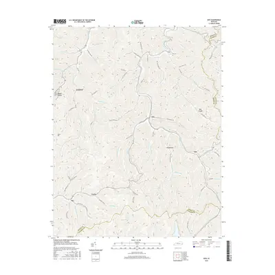
2016 Map of Kite
USGS Topo · Published 2016About this map
Alice Lloyd Coll and the community of Pippa Passes occupy a narrow valley along Caney Fork in this modern survey of eastern Kentucky. The landscape is defined by its deep, branching drainage systems and ridge-running boundaries where Knott, Floyd, and Letcher counties meet. Small settlements like Kite, Hollybush, and Omaha follow the winding hollows, connected by a network of local roads such as Hemp Patch Branch Rd and Bates Branch Rd. This topographic study reveals a traditional Appalachian settlement pattern where habitation is concentrated in the lowlands, and cemeteries like Bald Hill Cem and Hall Cem are situated on elevated ground overlooking the forks. The intricate web of named branches, including Cottonpatch Br and Wolfpen Br, underscores the isolation and distinct geography of these mountain communities in the mid-2010s.
Find a feature on this map
96 named features on this map. Tap any name to fly to it.
Don’t see what you’re looking for? This feature index may not catch every label — zoom into the map to look around manually.
Map Details
Editions of this 2016 Kite Map
This is the sole edition of this map. No revisions or reprints were ever made.
Other maps of this area

1890 · Whitesburg
USGS Topo · 1:125,000

1892 · Whitesburg
USGS Topo · 1:125,000

1912 · Pound
USGS Topo · 1:48,000

1912 · Hindman
USGS Topo · 1:48,000

1913 · Oven Fork
USGS Topo · 1:48,000

1914 · Pound
USGS Topo · 1:62,500

1914 · Vergie
USGS Topo · 1:48,000

1915 · Hindman
USGS Topo · 1:62,500

1915 · Whitesburg
USGS Topo · 1:62,500

1916 · Pikeville
USGS Topo · 1:62,500