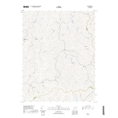
2019 Map of Kite
USGS Topo · Published 2019About this map
Pippa Passes and the surrounding hollows of Knott County define this landscape of the eastern Kentucky coalfields. This 2019 survey captures the region's intricate drainage patterns and ridge-top elevations, where small communities like Hollybush, Kite, and Omaha are connected by winding roads following the creek beds. Genealogy researchers can locate the Bald Hill Cem and Hall Cem, providing vital clues for family histories in a territory where settlement is dictated by the steep topography of Trace Mtn. The map documents the headwaters of several significant waterways, including Right Fork Beaver Cr and Carr Fork, illustrating how the physical geography has shaped the distribution of homes and local roads like Bill D Hall Br Rd and Arnold Fork Rd throughout the deep valleys.
Find a feature on this map
94 named features on this map. Tap any name to fly to it.
Don’t see what you’re looking for? This feature index may not catch every label — zoom into the map to look around manually.
Map Details
Editions of this 2019 Kite Map
This is the sole edition of this map. No revisions or reprints were ever made.
Other maps of this area

1890 · Whitesburg
USGS Topo · 1:125,000

1892 · Whitesburg
USGS Topo · 1:125,000

1912 · Pound
USGS Topo · 1:48,000

1912 · Hindman
USGS Topo · 1:48,000

1913 · Oven Fork
USGS Topo · 1:48,000

1914 · Pound
USGS Topo · 1:62,500

1914 · Vergie
USGS Topo · 1:48,000

1915 · Hindman
USGS Topo · 1:62,500

1915 · Whitesburg
USGS Topo · 1:62,500

1916 · Pikeville
USGS Topo · 1:62,500